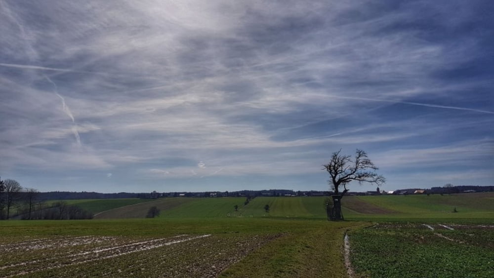
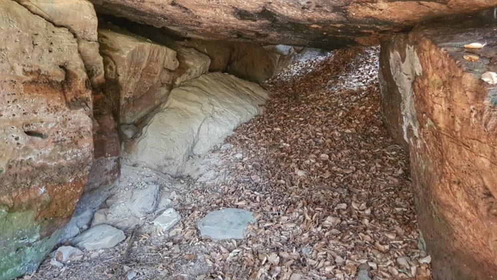
Heute in der Nähe des Cafe geparkt. Vorher noch mal Kuchen geholt, das Cafe schließ nun erst mal. Vom Parkplatz dann ein Stück durch Würzberg und über den Wirtsweg rüber zum Lochbrunnen bei Mangelsbach. Von dort zum Hohlen Stein, oder auch Schinderhannes-Höhle, und wieder über das Feld zurück nach Würzberg. Nun im Womo Kaffee gemacht und den Kuchen gegessen.
Galerie du tour
Carte du tour et altitude
Minimum height 465 m
Maximum height 542 m
Commentaires

Tracks GPS
Trackpoints-
GPX / Garmin Map Source (gpx) download
-
TCX / Garmin Training Center® (tcx) download
-
CRS / Garmin Training Center® (crs) download
-
Google Earth (kml) download
-
G7ToWin (g7t) download
-
TTQV (trk) download
-
Overlay (ovl) download
-
Fugawi (txt) download
-
Kompass (DAV) Track (tk) download
-
Feuille de tours (pdf) download
-
Original file of the author (gpx) download
Add to my favorites
Remove from my favorites
Edit tags
Open track
My score
Rate


