


Feierabendrunde von Schernbuch über Johanneck durch den Wald nach Güntersdorf, dort rechts auf der Straße bis nach Aufham, dann rechts über einen Feldweg nach Hohenbuch und von dort weiter über kleine Nebenstraßen, Feld- und Waldwege nach Schlipps. Von dort zurück über Walterskirchen nach Schernbuch.
Galerie du tour


Carte du tour et altitude
Minimum height 439 m
Maximum height 506 m
More about the tour author
|
|
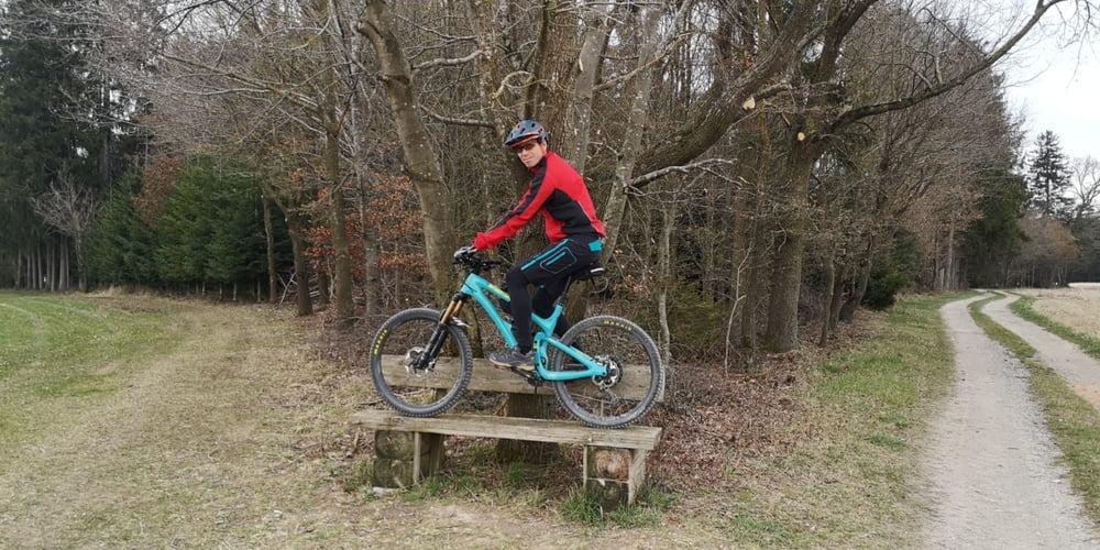
Raufundrunterradler |
Commentaires

BAB A9, Ausfahrt Allershausen, in der Ortmitte links Richtung Kirchdorf, nach ca. 4 km wieder links nach Aiterbach, weiter Richtung Paunzhausen, 300m nach der Autobahnbrücke in Schernbuch links abbiegen zum Startpunkt (Lindenstraße)
Tracks GPS
Trackpoints-
GPX / Garmin Map Source (gpx) download
-
TCX / Garmin Training Center® (tcx) download
-
CRS / Garmin Training Center® (crs) download
-
Google Earth (kml) download
-
G7ToWin (g7t) download
-
TTQV (trk) download
-
Overlay (ovl) download
-
Fugawi (txt) download
-
Kompass (DAV) Track (tk) download
-
Feuille de tours (pdf) download
-
Original file of the author (gpx) download
More about the tour author
|
|
Raufundrunterradler |
Add to my favorites
Remove from my favorites
Edit tags
Open track
My score
Rate