Login

Login oublié ?

Cookies have to be accepted!
Your browser's cookie functionality is disabled. Please enable this functionality.

Not a member yet?

Register now
Login

Available for registred users only

Log in to use this feature.

Login oublié ?

Cookies have to be accepted!
Your browser's cookie functionality is disabled. Please enable this functionality.

Not a member yet?

Register now
Filter
Catégories
Advanced filters
  • Longueur (km)
  • Altimètre
Enregistrer le filtre Reset filter

TrackRank

QRCode

Technical data

Longueur29,7 km Altimètre486 m Way down486 m Durée00:00 h:m Date07.04.2020
Evaluations Author Paysage Aspect amusement Condition Technique

Statistiques

934 Vues Evaluations 4 Téléchargements Moyenne
Rate
  • Feuille de tours
  • Arrivée
  • Téléchargements
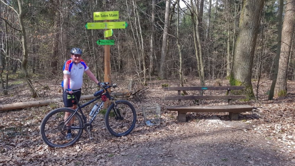
Bei fast sommerlichen Temperaturen heute unterwegs mit Peterle. Über den Mümlingtalradweg erst mal nach Bad König. Von dort zum Gesundheitsbrunnen und weiter zur Wachholderberg-Quelle. Nach einer kurzen Rast geht es weiter in Richtung "Toter Mann". Jetzt auf den Totenmanntrail und die Rimhorner Höhe ist schon in Sicht. Von dort nur noch abwärts über das Georg-Ferst-Heim nach Höchst. #noebike

Galerie du tour

Carte du tour et altitude

  • Open Street Map
  • Google
Minimum height 149 m Maximum height 392 m Vue de détail

More about the tour author

mh021255
Member since 2009

Send private message

Commentaires

Tracks GPS

Trackpoints
  • GPX / Garmin Map Source (gpx) download
  • TCX / Garmin Training Center® (tcx) download
  • CRS / Garmin Training Center® (crs) download
  • Google Earth (kml) download
  • G7ToWin (g7t) download
  • TTQV (trk) download
  • Overlay (ovl) download
  • Fugawi (txt) download
  • Kompass (DAV) Track (tk) download
  • Feuille de tours (pdf) download
  • Original file of the author (gpx) download

More about the tour author

mh021255
Member since 2009

Send private message
Share track
Add to my favorites
Remove from my favorites
Edit tags
My score
Rate
Tour: Gesundheitsbrunnen-Wachholderbergquelle-Toter Mann-Auerbrunnen
Cat.: Mountainbike
Longueur: 29,7 km
Evaluated on:
Durée:
Day(s)
Hour(s)
Minute(s)
Evaluation: Paysage Aspect amusement Condition Technique