


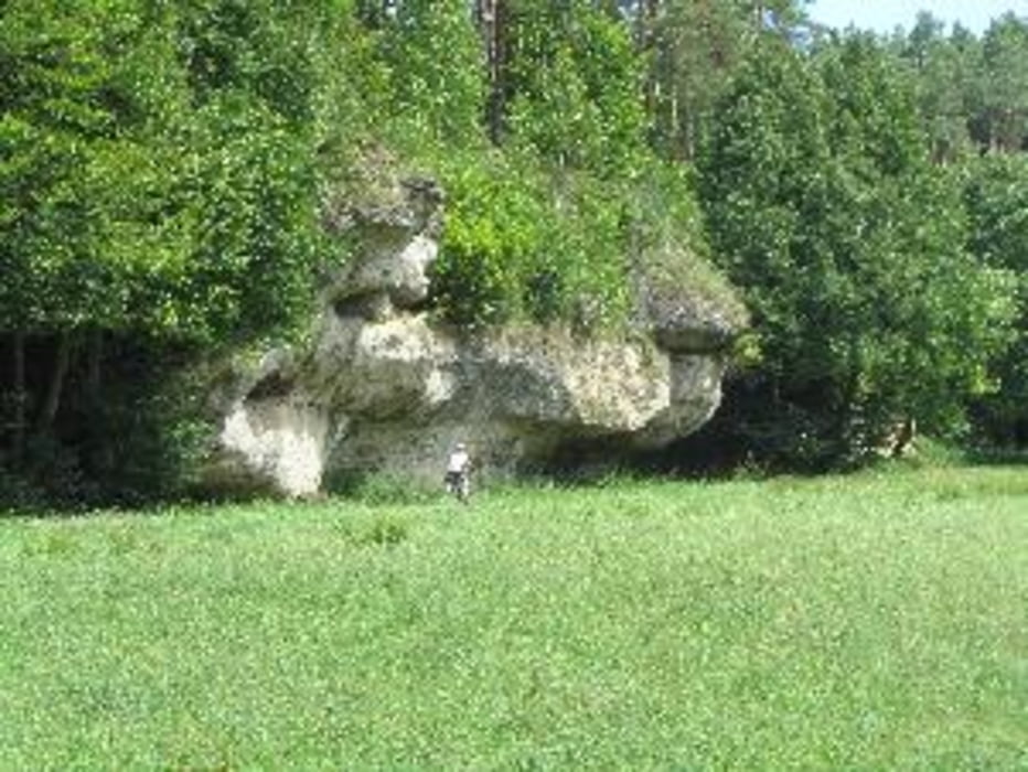
Startpunkt dieser rund 52 km langen Radtour ist die Badstraße in Hollfeld. Die Route führt durch das Kainachtal, über Wonsees, Schirradorf, Azendorf nach Zultenberg, wo man vom "Görauer Anger" und in Zultenberg einen herrlichen Ausblick über das Maintal bis in den Frankenwald hat. Über den "Görauer Anger" geht es an der nördlichen Steilkante der Fränkischen Alb entlang nach Görau. Auf Schotterweg rund 200 Höhenmeter bergab (Abstecher zur Burgruine Niesten ab Wanderparkplatz) und auf wenig befahrener Ortsverbindungsstraße nach Weismain. Ab hier das herrliche Kleinziegenfelder Tal aufwärts bis nach Kleinziegenfeld. Rückweg bis Hollfeld auf dem Ziegenfelder-Tal-Radweg.
Galerie du tour
Carte du tour et altitude
Minimum height 299 m
Maximum height 553 m
More about the tour author

|
hanspeter50 |
Commentaires

Tracks GPS
Trackpoints-
GPX / Garmin Map Source (gpx) download
-
TCX / Garmin Training Center® (tcx) download
-
CRS / Garmin Training Center® (crs) download
-
Google Earth (kml) download
-
G7ToWin (g7t) download
-
TTQV (trk) download
-
Overlay (ovl) download
-
Fugawi (txt) download
-
Kompass (DAV) Track (tk) download
-
Feuille de tours (pdf) download
-
Original file of the author (gpx) download
More about the tour author
|
|
hanspeter50 |
Add to my favorites
Remove from my favorites
Edit tags
Open track
My score
Rate