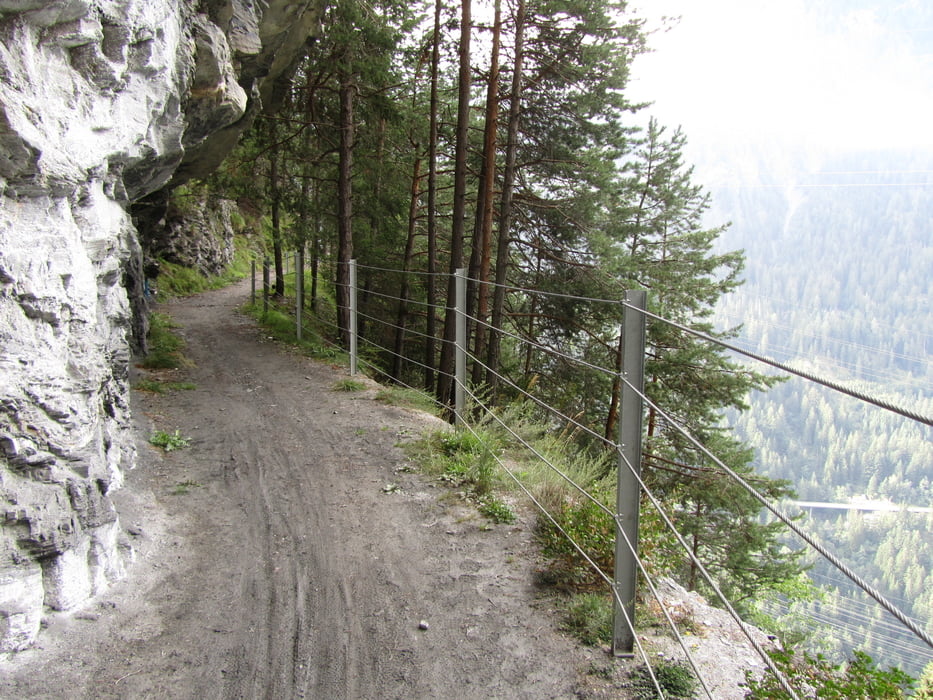
Von Thusis uber Sils auf steilem Bergpfad zum historischen Weg der Via Sett. Auf ihm sind Kaiser, Könige und Händler von Norditalien auf dem kürzest möglichen Weg über die Alpen gezogen. Vorher sind auch schon römische Legionäre im Alpenfeldzug 15 v. Chr. darauf unterwegs gewesen. Stellenweise finden sich noch mittelalterliche oder römische Pflasterungen. Übernachtung nach 20 km in Tiefencastel.
Carte du tour et altitude
Minimum height 667 m
Maximum height 1212 m
Commentaires

Tracks GPS
Trackpoints-
GPX / Garmin Map Source (gpx) download
-
TCX / Garmin Training Center® (tcx) download
-
CRS / Garmin Training Center® (crs) download
-
Google Earth (kml) download
-
G7ToWin (g7t) download
-
TTQV (trk) download
-
Overlay (ovl) download
-
Fugawi (txt) download
-
Kompass (DAV) Track (tk) download
-
Feuille de tours (pdf) download
-
Original file of the author (gpx) download
Add to my favorites
Remove from my favorites
Edit tags
Open track
My score
Rate


