


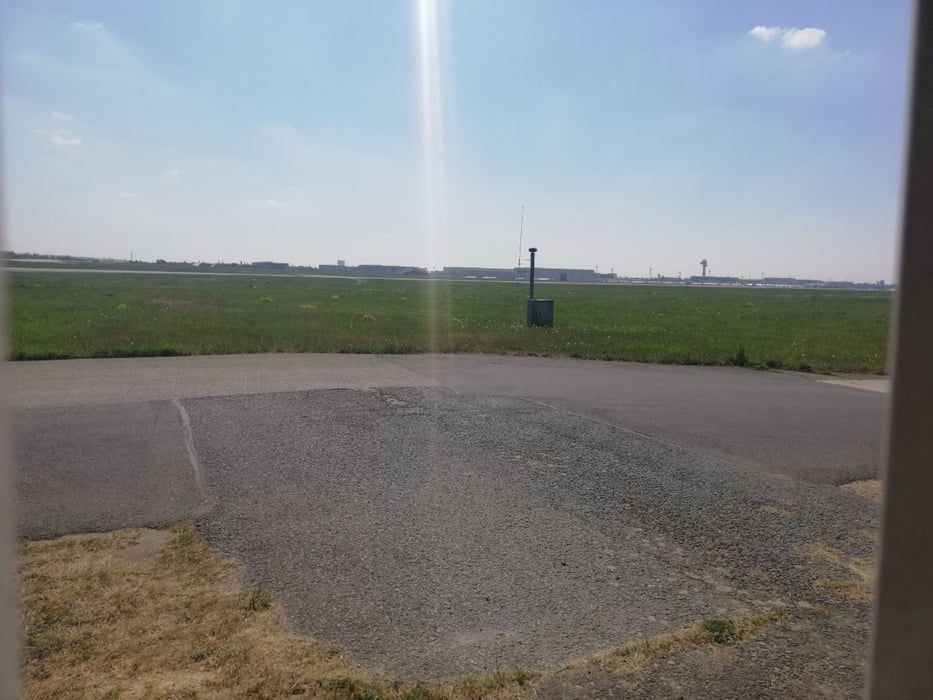
Rundtour zum Flughafen mit 2 schönen Wegpunkten um den Flugbetrieb zu beobachten , das passiert direkt am Zaun. Besonders imposant wenn der A380 landet . Am besten mal im www nachsehen wann er sich ankündigt.
Am Angermunder Baggerloch - - siehe Wegpunkt - - besteht die Möglichkeit schwimmen zu gehen, dort trifft sich der FKK und Textilbadegast. Der Einstieg ins Wasser ist mit Kieselsteinen etwas mühsam aber mit Badeschuhen kein Problem. zumal das Wasser super ist. Auch gibt es dort Baumbestand somit ist auch etwas Schatten vorhanden
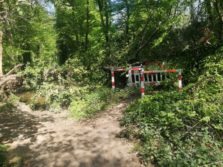
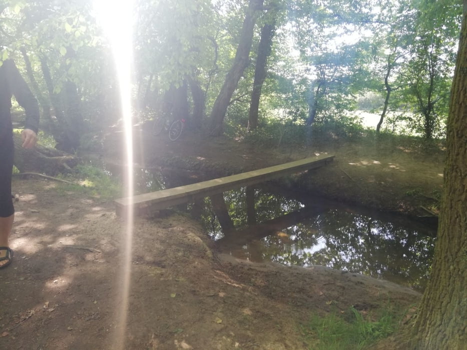
Auf dem Track ist ein weiterer Wegpunkt dort ist ein Baum auf die Brücke gefallen , wer sein Rad über die provisorische Brücke trägt kommt auch gut weiter. Siehe Bilder
Klar ein Kaltgetränk am Büdchen Entenfang geht immer !
Further information at
https://de.restaurantguru.com/Entenfangbude-Mulheim-2Galerie du tour
Carte du tour et altitude
Minimum height 32 m
Maximum height 56 m
More about the tour author
|
|
Biker_NRW |
Commentaires

Tracks GPS
Trackpoints-
GPX / Garmin Map Source (gpx) download
-
TCX / Garmin Training Center® (tcx) download
-
CRS / Garmin Training Center® (crs) download
-
Google Earth (kml) download
-
G7ToWin (g7t) download
-
TTQV (trk) download
-
Overlay (ovl) download
-
Fugawi (txt) download
-
Kompass (DAV) Track (tk) download
-
Feuille de tours (pdf) download
-
Original file of the author (gpx) download
More about the tour author
|
|
Biker_NRW |
Add to my favorites
Remove from my favorites
Edit tags
Open track
My score
Rate