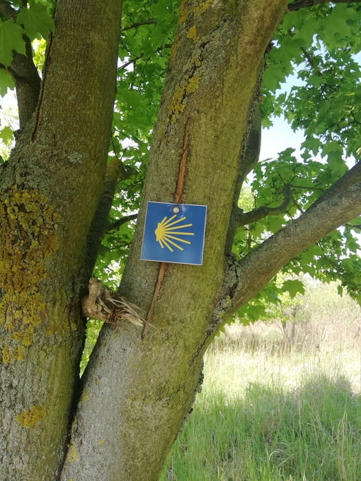
Die Wanderung führt auf dem Jakobsweg durch Wälder und über Felder vorbei an schönen alten Kirchen. Die Wege sind gut begehbar, teils auf wenig befahrenen Nebenstraßen entlanggeführt.
Die Strecke verläuft von Bernau über Börnicke, Helenenau, Löhmer Haussee, Werneuchen, Wesendahl und Wesendahler Mühle nach Strausberg.
Galerie du tour
Carte du tour et altitude
Minimum height 52 m
Maximum height 105 m
Commentaires

Von Berlin aus mit der S-Bahn/ Regionalbahn bis Bernau. Von Strausberg aus genauso retour. Oder umgekehrt.
Tracks GPS
Trackpoints-
GPX / Garmin Map Source (gpx) download
-
TCX / Garmin Training Center® (tcx) download
-
CRS / Garmin Training Center® (crs) download
-
Google Earth (kml) download
-
G7ToWin (g7t) download
-
TTQV (trk) download
-
Overlay (ovl) download
-
Fugawi (txt) download
-
Kompass (DAV) Track (tk) download
-
Feuille de tours (pdf) download
-
Original file of the author (gpx) download
Add to my favorites
Remove from my favorites
Edit tags
Open track
My score
Rate


