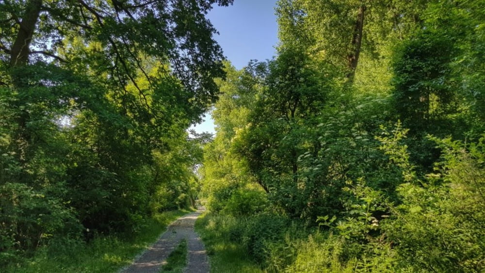
Die diesjährige Vatertagsrunde war nicht mit Biergärten gespickt sondern mit einer Menge Natur. Es ging entlang des Rheins. Von Gernsheim auf der rechten Seite in Richtung Süden nach Worms. Unterwegs viel Auenlandschaft. Sehr schön. In Worms dann über die Nibelungen Brücke auf die linke Rheinseite und hoch nach Norden bis zur Fähre nach Gernsheim. Hier wieder übergesetzt und zurück zum Womo. #noebike
Galerie du tour
Carte du tour et altitude
Minimum height 85 m
Maximum height 103 m
Commentaires

Tracks GPS
Trackpoints-
GPX / Garmin Map Source (gpx) download
-
TCX / Garmin Training Center® (tcx) download
-
CRS / Garmin Training Center® (crs) download
-
Google Earth (kml) download
-
G7ToWin (g7t) download
-
TTQV (trk) download
-
Overlay (ovl) download
-
Fugawi (txt) download
-
Kompass (DAV) Track (tk) download
-
Feuille de tours (pdf) download
-
Original file of the author (gpx) download
Add to my favorites
Remove from my favorites
Edit tags
Open track
My score
Rate


