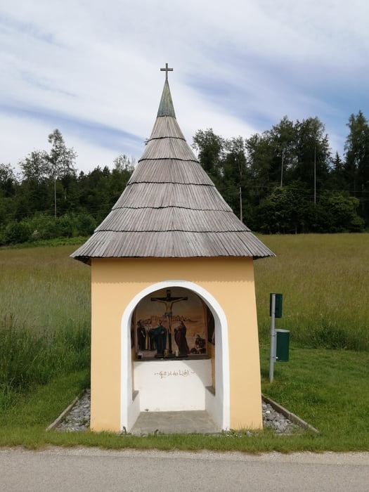
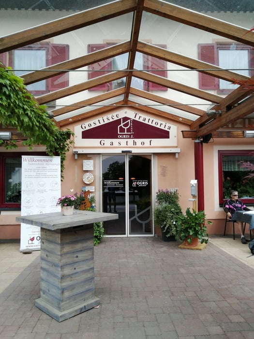
Von Klagenfurt über Viktring nach Wegscheide bei der Hollenburg, Preliebl, dort links weg auf einer unbefestigten Straße zur Kapelle Maria Waldesruh, weiter nach Tschachoritsch und auf der L99 nach Ludmannsdorf. Nach der Pause im Gasthaus Ogris (sehr zu empfehlen!) zurück über Moschenitzen, Niederdörfl, Wellersdorf. die Serpentinen auf der Draustrasse L106 hinauf und auf der L99 nach Köttmannsdorf, ab dort führt ein Radweg neben der Landesstrasse bis Schwanein und dann nach Viktring.
Galerie du tour
Carte du tour et altitude
Minimum height 443 m
Maximum height 604 m
Commentaires

Tracks GPS
Trackpoints-
GPX / Garmin Map Source (gpx) download
-
TCX / Garmin Training Center® (tcx) download
-
CRS / Garmin Training Center® (crs) download
-
Google Earth (kml) download
-
G7ToWin (g7t) download
-
TTQV (trk) download
-
Overlay (ovl) download
-
Fugawi (txt) download
-
Kompass (DAV) Track (tk) download
-
Feuille de tours (pdf) download
-
Original file of the author (gpx) download
Add to my favorites
Remove from my favorites
Edit tags
Open track
My score
Rate


