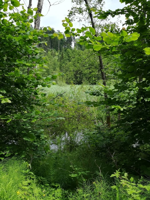
Von Klagenfurt über R7 bis zum Herzogstuhl, Arndorf, Rosendorf, Stuttern. Nach rechts vererst asphaltiert, dann eher schlechter Waldweg zum Stutterner Moos bis Winklern. Links weg bergauf nach Thurn und Haag auf schlechtem Waldweg, ab hier wieder Asphalt, bergab nach Lassendorf, auf dem Radweg nach Deinsdorf, rechts weg Richtung Sillebrücke, über St. Lorenzen und Reigersdorf nach Portendorf und Gottesbichl, Drasendorf, St. Georgen am Sandhof zurück nach Klagenfurt
Galerie du tour
Carte du tour et altitude
Minimum height 438 m
Maximum height 552 m
Commentaires

Tracks GPS
Trackpoints-
GPX / Garmin Map Source (gpx) download
-
TCX / Garmin Training Center® (tcx) download
-
CRS / Garmin Training Center® (crs) download
-
Google Earth (kml) download
-
G7ToWin (g7t) download
-
TTQV (trk) download
-
Overlay (ovl) download
-
Fugawi (txt) download
-
Kompass (DAV) Track (tk) download
-
Feuille de tours (pdf) download
-
Original file of the author (gpx) download
Add to my favorites
Remove from my favorites
Edit tags
Open track
My score
Rate

