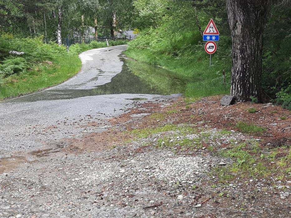
Start und Ziel ist der Campingplatz Lido in Cannero Riviera. Von hier aus erst mal ca 10km den Berg hinauf. Alles asphaltiert, manchmal ist der Asphalt nicht so dolle, aber gut fahrbar.
Zurück dann am See vorbei bis zum Campingplatz. Die Einfahrt in die Einbahnstraße in Cannero ist dem Corona Virus geschuldet, keine Autos unterwegs. Aber trotzdem bitte nicht nachmachen sondern außen rum fahren.
Galerie du tour
Carte du tour et altitude
Minimum height 197 m
Maximum height 1274 m
Commentaires

Tracks GPS
Trackpoints-
GPX / Garmin Map Source (gpx) download
-
TCX / Garmin Training Center® (tcx) download
-
CRS / Garmin Training Center® (crs) download
-
Google Earth (kml) download
-
G7ToWin (g7t) download
-
TTQV (trk) download
-
Overlay (ovl) download
-
Fugawi (txt) download
-
Kompass (DAV) Track (tk) download
-
Feuille de tours (pdf) download
-
Original file of the author (gpx) download
Add to my favorites
Remove from my favorites
Edit tags
Open track
My score
Rate


