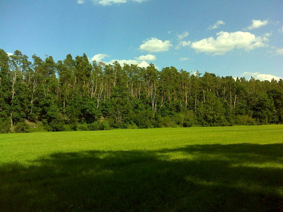
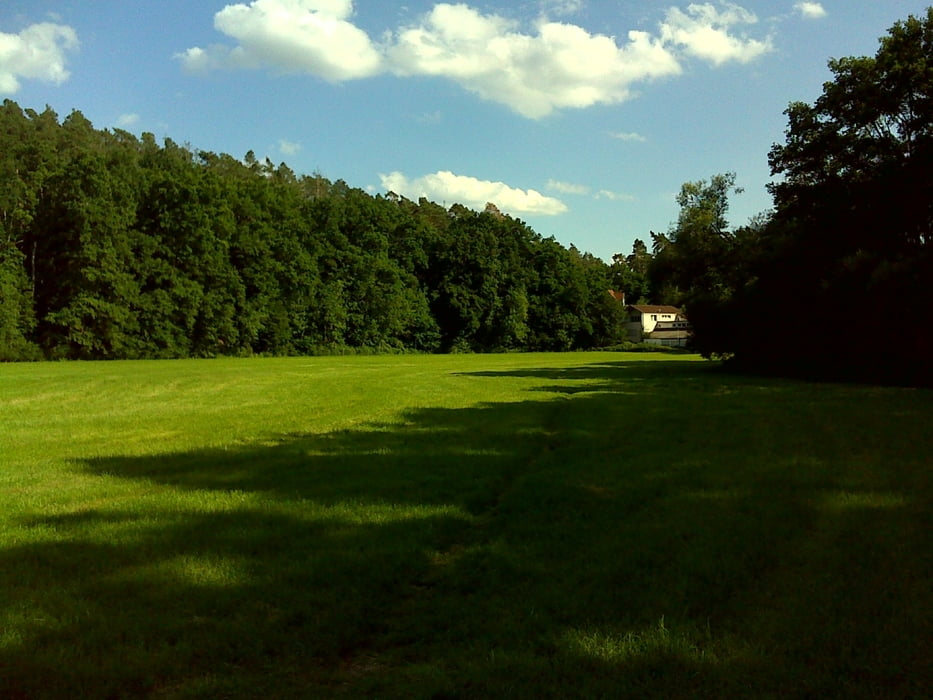
Die Runde startet bei ALDI Süd in Limbach bzw. beim Franky Getränkemarkt. Man könnte freilich auch direkt auf dem Hundegassiparkplatz an der Mündung der Schwabach in die Rednitz starten. Wir gehen auf schönen Pfaden und Wegen beidseits der Rednitz gen Rennmühle und Kappelbergsteig.
Further information at
http://www.freiberg-service.de/Galerie du tour
Carte du tour et altitude
Minimum height 310 m
Maximum height 341 m
Commentaires

Tracks GPS
Trackpoints-
GPX / Garmin Map Source (gpx) download
-
TCX / Garmin Training Center® (tcx) download
-
CRS / Garmin Training Center® (crs) download
-
Google Earth (kml) download
-
G7ToWin (g7t) download
-
TTQV (trk) download
-
Overlay (ovl) download
-
Fugawi (txt) download
-
Kompass (DAV) Track (tk) download
-
Feuille de tours (pdf) download
-
Original file of the author (gpx) download
Add to my favorites
Remove from my favorites
Edit tags
Open track
My score
Rate


