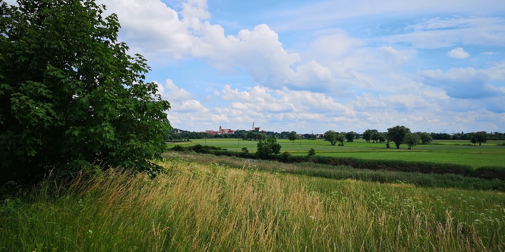
Die Tour kann man gut mit einem Tourenfahrrad machen. Die Strecke ist aber durchaus hügelig. Ich habe ein Mountainbike verwendet. Die Strecke sind geteerte Fahrradwege bzw. geschotterte Feld- und Waldwege.
In Bugenhofen empfiehlt sich ein Besuch beim Maikäfer (Öffnungszeiten beachten) bzw. wenn wieder zurück in Donauwörth die Gastronomie im Ried.
Galerie du tour
Carte du tour et altitude
Minimum height 387 m
Maximum height 553 m
Commentaires

Start ist in der Kapellstraße beim Fahrradgeschäft Brachem. Es gibt da auch ein paar Parkplätze.
Tracks GPS
Trackpoints-
GPX / Garmin Map Source (gpx) download
-
TCX / Garmin Training Center® (tcx) download
-
CRS / Garmin Training Center® (crs) download
-
Google Earth (kml) download
-
G7ToWin (g7t) download
-
TTQV (trk) download
-
Overlay (ovl) download
-
Fugawi (txt) download
-
Kompass (DAV) Track (tk) download
-
Feuille de tours (pdf) download
-
Original file of the author (gpx) download
Add to my favorites
Remove from my favorites
Edit tags
Open track
My score
Rate


