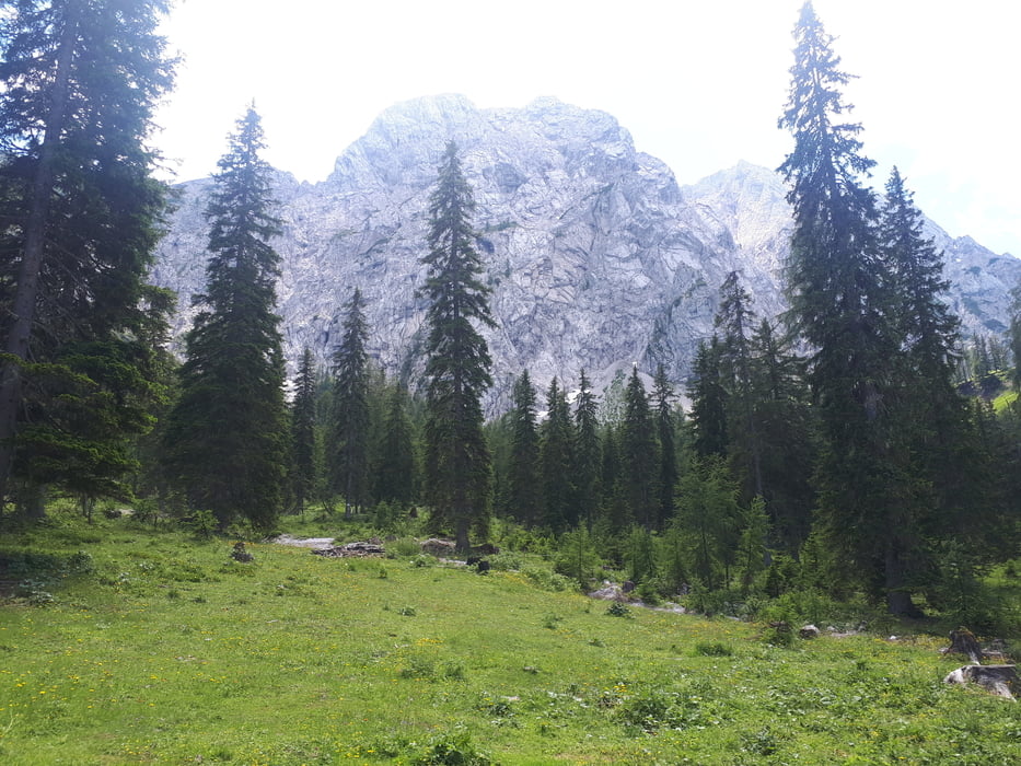
Start der Tour ist am Weißensee in Naggl.
Von Naggl geht es über die Seestraße nach Techendorf, über die Seepromenade (Nordseite) nach Praditz, und über die Straße zum Kreuzwirt.
Hinter dem Kreuzwirt beginnt der Anstieg Richtung Waisacher Alm.
Vorbei an der Waisacher Alm geht es weiter auf die Comptonhütte.
Zurück zum Weißensee führt die Strecke über den Kreuzberg und die Seepromenade (Südseite).
Die Strecke auf die Comptonhütte ist KEINE offizelle MTB- Strecke, laut Hüttenwirt von der Comptonhütte wird das befahren mit dem Rad geduldet.
Further information at
https://www.alpenverein.at/etcomptonhuette/Galerie du tour
Carte du tour et altitude
Commentaires

Tracks GPS
Trackpoints-
GPX / Garmin Map Source (gpx) download
-
TCX / Garmin Training Center® (tcx) download
-
CRS / Garmin Training Center® (crs) download
-
Google Earth (kml) download
-
G7ToWin (g7t) download
-
TTQV (trk) download
-
Overlay (ovl) download
-
Fugawi (txt) download
-
Kompass (DAV) Track (tk) download
-
Feuille de tours (pdf) download
-
Original file of the author (gpx) download


