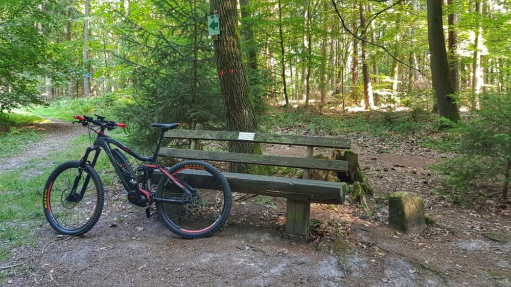
Heute 37°. Die richtige Temperatur, um mal eine erste Runde mit dem E-Bike meiner Frau zu fahren. Ich muß sagen, es mach ganz schön Spaß durch den Wald zu fliegen. Na ja, wer es braucht. Es war mal ein Versuch wert.
Galerie du tour
Carte du tour et altitude
Minimum height 110 m
Maximum height 312 m
Commentaires

Tracks GPS
Trackpoints-
GPX / Garmin Map Source (gpx) download
-
TCX / Garmin Training Center® (tcx) download
-
CRS / Garmin Training Center® (crs) download
-
Google Earth (kml) download
-
G7ToWin (g7t) download
-
TTQV (trk) download
-
Overlay (ovl) download
-
Fugawi (txt) download
-
Kompass (DAV) Track (tk) download
-
Feuille de tours (pdf) download
-
Original file of the author (gpx) download
Add to my favorites
Remove from my favorites
Edit tags
Open track
My score
Rate


