


Von Diepoldsau bis Dornbirn sehr schöne Kiesswege zum Einfahren. Nach Dornbirn steigt die Strasse an und das Tal wird schmaler und schmaler bis die Ortschaft Ebnit erreicht wird. Auf dieser Sonnenterasse laden die Einkehrmöglichkeiten zum Verweilen. Danach geht es sehr steil auf die Strahlenkopfalp. Bei unserer Tour war die Strasse wegen Holzarbeiten für Biker gesperrt und wir mussten umkehren und die Route über Schneealpe fahren. Bis Schneealpe Kiesweg danach Wanderweg mit vielen Tragepassagen bis zur Staffelalpe danach alles wieder befahrbar.
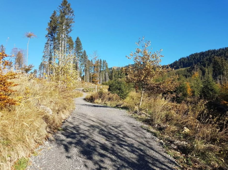
Galerie du tour


Carte du tour et altitude
Minimum height 392 m
Maximum height 1495 m
More about the tour author

|
Mbaumi1 |
Commentaires

Ausfahrt A1 nach Diepoldsau, danach öffentlicher Parkplatz nach der Autobahnausfahrt. Kann aber auch über Heerbrugg mit Zug erreicht werden.
Tracks GPS
Trackpoints-
GPX / Garmin Map Source (gpx) download
-
TCX / Garmin Training Center® (tcx) download
-
CRS / Garmin Training Center® (crs) download
-
Google Earth (kml) download
-
G7ToWin (g7t) download
-
TTQV (trk) download
-
Overlay (ovl) download
-
Fugawi (txt) download
-
Kompass (DAV) Track (tk) download
-
Feuille de tours (pdf) download
-
Original file of the author (gpx) download
More about the tour author
|
|
Mbaumi1 |
Add to my favorites
Remove from my favorites
Edit tags
Open track
My score
Rate