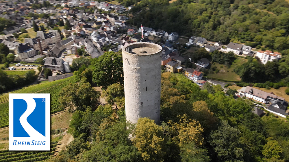
Die Vorletzte Etappe ist eine relative kurze Etappe. Auf dieser Tour macht der Rheinsteig seinen weitesten Schlenker in den vorderen Taunus. Anfangs noch durch Weinberge, führt er später waldreich nach Schlangenbad. Somit halten sich die Sehenswürdigkeiten und die Abwechslung in Grenzen
Galerie du tour
Carte du tour et altitude
Minimum height 144 m
Maximum height 337 m
Commentaires

Tracks GPS
Trackpoints-
GPX / Garmin Map Source (gpx) download
-
TCX / Garmin Training Center® (tcx) download
-
CRS / Garmin Training Center® (crs) download
-
Google Earth (kml) download
-
G7ToWin (g7t) download
-
TTQV (trk) download
-
Overlay (ovl) download
-
Fugawi (txt) download
-
Kompass (DAV) Track (tk) download
-
Feuille de tours (pdf) download
-
Original file of the author (gpx) download
Add to my favorites
Remove from my favorites
Edit tags
Open track
My score
Rate


