
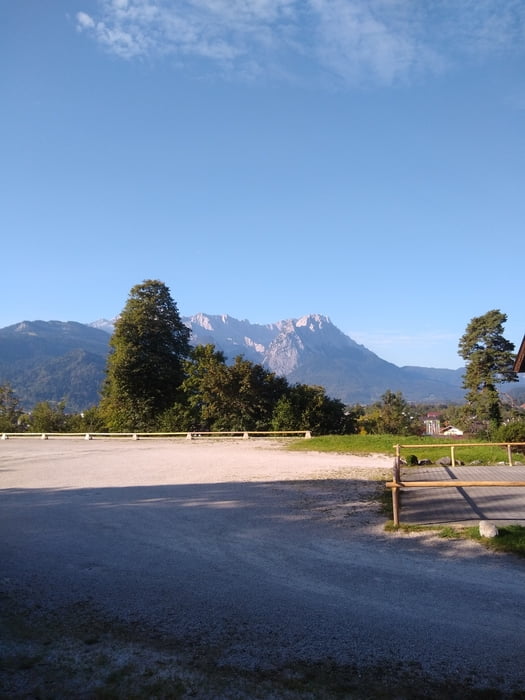

Eine etwas längere als die "übliche" Tour über die Mittelstation der Wankbahn. Dafür nicht ganz so steil und kaum Menschen unterwegs. Zieht sich bis zum Fuß des Rosswanks (ca. 2h) etwas mit einigen kleineren Gegenanstiegen. Lohnt sich aber .
Kurz unter dem Rosswank Gipfel ist hier ein Schlenker reingeraten:
Da liegt ein (recht grosser...) Baum auf dem Weg und ich bin an dieser Stelle versehentlich nach rechts abgebogen, erst wenn man um den Baum herumläuft sieht man nach einigen Schritten wo der tatsächliche Weg verläuft... fällt aber relativ schnell auf, weil der vermeindliche Abzweig schnell nicht mehr so richtig angelegt ausssieht.
Galerie du tour


Carte du tour et altitude
Minimum height 758 m
Maximum height 1764 m
More about the tour author

|
mrmime |
Commentaires

Mit öffentlichen: RB bis Oberau dann Regilonalbus 9606 in Richtung Garmisch bis Haltestelle Patenkirchen Friedhof. 5 min zum Startpunkt am Parkplatz Talstation Wankbahn.
Mit dem Auto: bis Parkplatz Wankbahn Talstation in Garmisch-Patenkirchen
Tracks GPS
Trackpoints-
GPX / Garmin Map Source (gpx) download
-
TCX / Garmin Training Center® (tcx) download
-
CRS / Garmin Training Center® (crs) download
-
Google Earth (kml) download
-
G7ToWin (g7t) download
-
TTQV (trk) download
-
Overlay (ovl) download
-
Fugawi (txt) download
-
Kompass (DAV) Track (tk) download
-
Feuille de tours (pdf) download
-
Original file of the author (gpx) download
More about the tour author
|
|
mrmime |
Add to my favorites
Remove from my favorites
Edit tags
Open track
My score
Rate