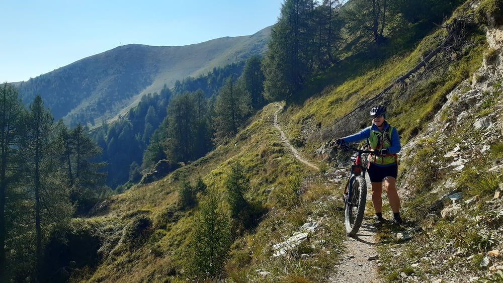
Start der Tour am Campingplatz Kals am Großglockner.
Lange Abfahrt entlang dem Kalser Bach auf Forststraße und Landstraße nach Huben.
Auf Nebenweg nach Matrei in Osttirol.
Lange Auffahrt auf Asptalt und Schotter bis zum Kalser Törl.
Auf Schipiste und Forststraße retour nach Kals.
Galerie du tour
Carte du tour et altitude
Minimum height 789 m
Maximum height 2037 m
Commentaires

Kals am Großglockner
Tracks GPS
Trackpoints-
GPX / Garmin Map Source (gpx) download
-
TCX / Garmin Training Center® (tcx) download
-
CRS / Garmin Training Center® (crs) download
-
Google Earth (kml) download
-
G7ToWin (g7t) download
-
TTQV (trk) download
-
Overlay (ovl) download
-
Fugawi (txt) download
-
Kompass (DAV) Track (tk) download
-
Feuille de tours (pdf) download
-
Original file of the author (gpx) download
Add to my favorites
Remove from my favorites
Edit tags
Open track
My score
Rate


