


Diese Tour basiert zum größten Teil auf "Tour #80167: Arrach - Große Erlebnisrunde".
Wir haben allerdings ein für Radfahrer gesperrte Stück bei Eck umfahren und einen Trail vor Arrach eingebaut (sonst Abfahrt auf Teer).
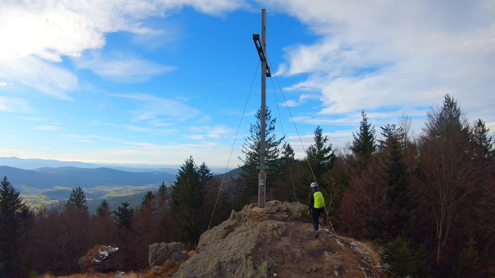
Auch ein Abstecher zum Ödriegel ist im Track enthalten. Da muss man das Rad zwar ein paar Hundert Meter vorm Gipfel stehen lassen, die Aussicht ist den kurzen Fußmarsch aber auf jeden Fall wert.
Ansonsten eine technisch sehr einfache Runde, die allerdings mit ein paar steilen Anstiegen etwas Kraft in den Waden verlangt.
Galerie du tour
Carte du tour et altitude
Minimum height 498 m
Maximum height 1145 m
More about the tour author
|
|
mountain_mane |
Commentaires

Tracks GPS
Trackpoints-
GPX / Garmin Map Source (gpx) download
-
TCX / Garmin Training Center® (tcx) download
-
CRS / Garmin Training Center® (crs) download
-
Google Earth (kml) download
-
G7ToWin (g7t) download
-
TTQV (trk) download
-
Overlay (ovl) download
-
Fugawi (txt) download
-
Kompass (DAV) Track (tk) download
-
Feuille de tours (pdf) download
-
Original file of the author (gpx) download
More about the tour author
|
|
mountain_mane |
Add to my favorites
Remove from my favorites
Edit tags
Open track
My score
Rate