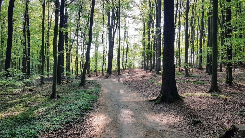
Die Tour führt südlich von Bad Bentheim und durch Sieringhoek in Richtung "Gildehauser Venn". Von dort aus geht es auf Bardel zu. Durch den Forst Bentheim und den "Achterberg" führt eine steile Rampe in 2 Etappen hinauf auf den Mühlenberg in Gildehaus, wo man zunächst westlich auf die "Lukasmühle" trifft, ehe ca. 1 Kilometer später die Ostmühle erreicht wird. Über die L39 fährt man dann hinter dem Bahnübergang rechts weiter bis Bad Bentheim.
Galerie du tour
Carte du tour et altitude
Minimum height 84 m
Maximum height 123 m
Commentaires

Tracks GPS
Trackpoints-
GPX / Garmin Map Source (gpx) download
-
TCX / Garmin Training Center® (tcx) download
-
CRS / Garmin Training Center® (crs) download
-
Google Earth (kml) download
-
G7ToWin (g7t) download
-
TTQV (trk) download
-
Overlay (ovl) download
-
Fugawi (txt) download
-
Kompass (DAV) Track (tk) download
-
Feuille de tours (pdf) download
-
Original file of the author (gpx) download
Add to my favorites
Remove from my favorites
Edit tags
Open track
My score
Rate


