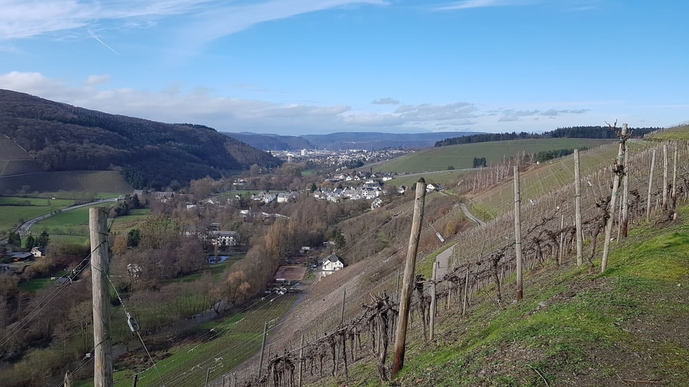
Diese Weinbergswanderung ist nichts für heisse Sommertage, da sie vorwiegend in Serpentinen mit schönen Weitblicken ins Ruwertal im Weinberg verläuft.
Galerie du tour
Carte du tour et altitude
Minimum height 230 m
Maximum height 304 m
Commentaires

Mit Bus Linie 207 von Trier nach Kasel Sportplatz oder mit dem Auto nach Kasel, Am Sportplatz 9, K140 ( N49 45.875 E6 44.501)
Tracks GPS
Trackpoints-
GPX / Garmin Map Source (gpx) download
-
TCX / Garmin Training Center® (tcx) download
-
CRS / Garmin Training Center® (crs) download
-
Google Earth (kml) download
-
G7ToWin (g7t) download
-
TTQV (trk) download
-
Overlay (ovl) download
-
Fugawi (txt) download
-
Kompass (DAV) Track (tk) download
-
Feuille de tours (pdf) download
-
Original file of the author (gpx) download
Add to my favorites
Remove from my favorites
Edit tags
Open track
My score
Rate


