


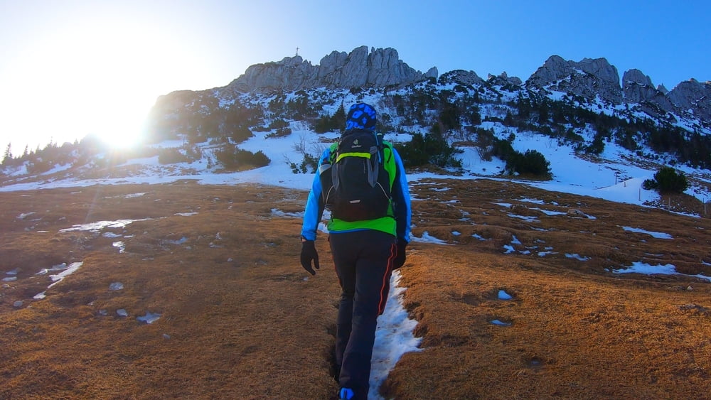
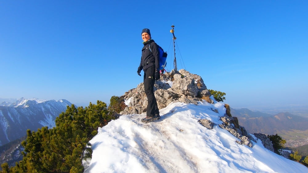
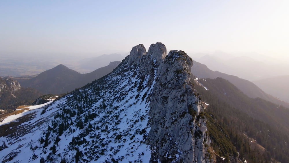
Wer auf die Kampenwand will, sollte das Wochenende meiden und früh aufstehen. Dann kann man auch diesen bekannten Gipfel für sich alleine haben. Wir starteten unsere Tour am Wanderparkplatz Hintergschwendt und stiegen über den Sulten zur Steinlingalm auf. Von dort geht es in leichter Kletterei zum Ostgipfel. Für den Rückweg wählten wir den Abstieg auf der Südseite. Via Sonnenalm und Goriloch ging es zurück zum Ausgangspunkt. So kamen 11,5 Kilometer und 1050 Höhenmeter auf einer konditionell und technisch anspruchsvollen Wanderung zusammen.
Video zur Tour gibt es auf meinem Youtube-Kanal "mountain mane" Playlist "Wandern"
Video zur Tour gibt es auf meinem Youtube-Kanal "mountain mane" Playlist "Wandern"
Galerie du tour
Carte du tour et altitude
Minimum height 837 m
Maximum height 1662 m
More about the tour author
|
|
mountain_mane |
Commentaires

Tracks GPS
Trackpoints-
GPX / Garmin Map Source (gpx) download
-
TCX / Garmin Training Center® (tcx) download
-
CRS / Garmin Training Center® (crs) download
-
Google Earth (kml) download
-
G7ToWin (g7t) download
-
TTQV (trk) download
-
Overlay (ovl) download
-
Fugawi (txt) download
-
Kompass (DAV) Track (tk) download
-
Feuille de tours (pdf) download
-
Original file of the author (gpx) download
More about the tour author
|
|
mountain_mane |
Add to my favorites
Remove from my favorites
Edit tags
Open track
My score
Rate