Login

Login oublié ?

Cookies have to be accepted!
Your browser's cookie functionality is disabled. Please enable this functionality.

Not a member yet?

Register now
Login

Available for registred users only

Log in to use this feature.

Login oublié ?

Cookies have to be accepted!
Your browser's cookie functionality is disabled. Please enable this functionality.

Not a member yet?

Register now
Filter
Catégories
Advanced filters
  • Longueur (km)
  • Altimètre
Enregistrer le filtre Reset filter

TrackRank

QRCode

Technical data

Longueur7,5 km Altimètre119 m Way down120 m Durée02:00 h:m Date19.03.2021
Evaluations Author Paysage Aspect amusement Condition Technique

Statistiques

101 Vues Evaluations 1 Téléchargement Moyenne
Rate
  • Feuille de tours
  • Arrivée
  • Téléchargements
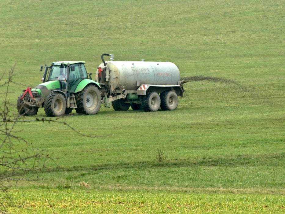
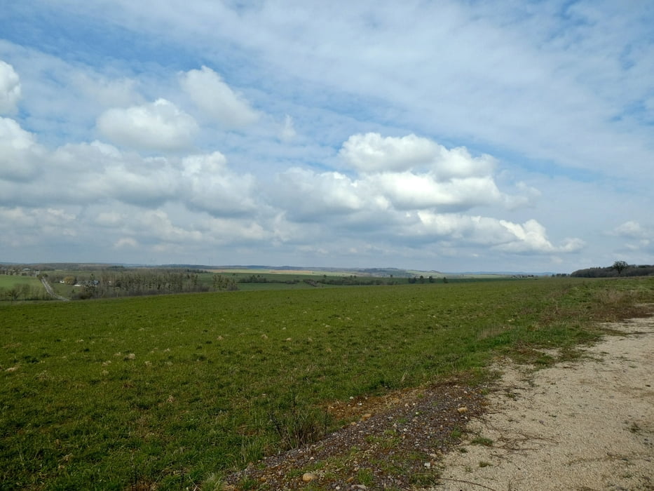
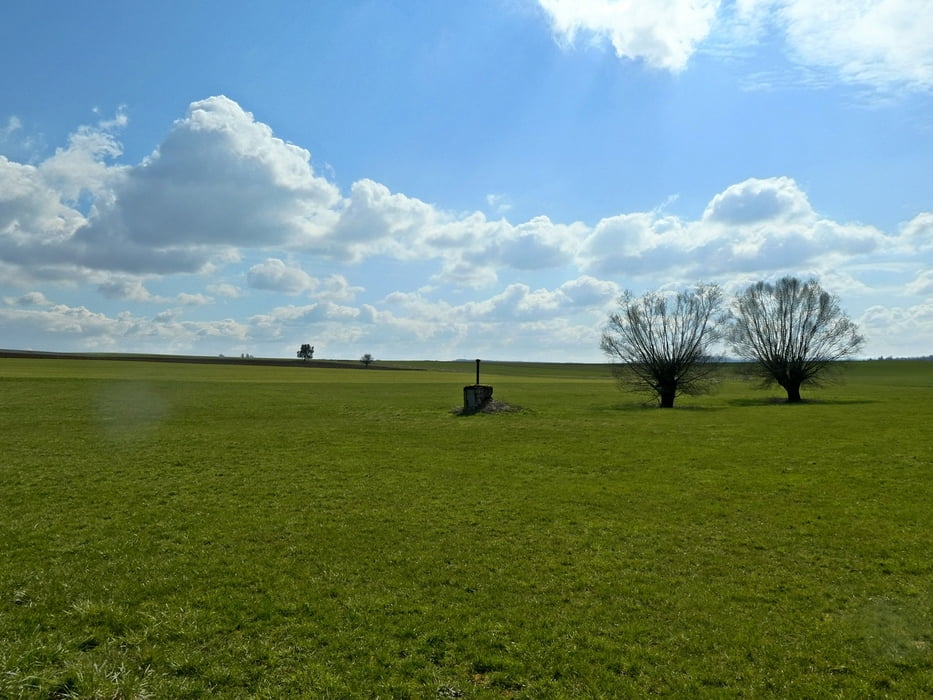
Die Tour startet und endet in Fürweiler an der Bushaltestelle. Einstieg aber auch wo anders möglich. Die Stecke besteht aus Feldwirtschaftswegen mit hohem Anteil an Asphalt. 

Galerie du tour

Carte du tour et altitude

  • Open Street Map
  • Google
Minimum height 79 m Maximum height 300 m Vue de détail

More about the tour author

Biker-Tommy
Member since 2009

Send private message

Commentaires

Tracks GPS

Trackpoints
  • GPX / Garmin Map Source (gpx) download
  • TCX / Garmin Training Center® (tcx) download
  • CRS / Garmin Training Center® (crs) download
  • Google Earth (kml) download
  • G7ToWin (g7t) download
  • TTQV (trk) download
  • Overlay (ovl) download
  • Fugawi (txt) download
  • Kompass (DAV) Track (tk) download
  • Feuille de tours (pdf) download
  • Original file of the author (gpx) download

More about the tour author

Biker-Tommy
Member since 2009

Send private message
Share track
Add to my favorites
Remove from my favorites
Edit tags
My score
Rate
Tour: Nordgauhöhen Fürweiler-Gerlfangen
Cat.: Randonnées
Longueur: 7,5 km
Evaluated on:
Durée:
Day(s)
Hour(s)
Minute(s)
Evaluation: Paysage Aspect amusement Condition Technique