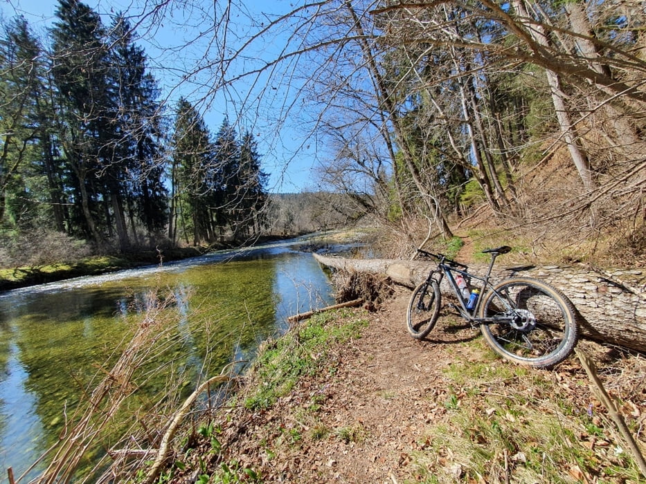
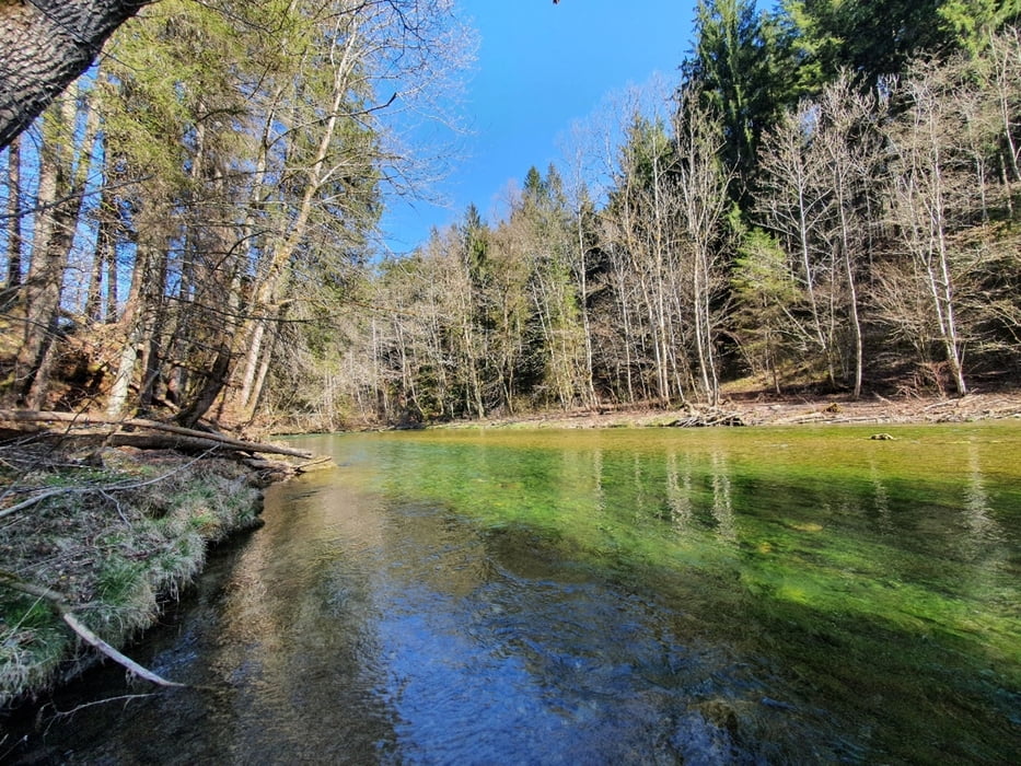
Schöne Schleife druchs Manfalltal mit Start in Großhelfendorf.
Mix aus Trails, Waldwegen, kurzen Nebenstraßenstücken. Man könnte natürlich den Trailanteil noch weiterausbauen und die Runde zeitlich noch länger gestalten.
Auffahrt über den Taubenberg mit z. T. Abfahrt über noch geöffneten Trail.
Ist bis auf ein paar umgestürzte Bäume alles fahrbar.
Viel Spaß
Galerie du tour
Carte du tour et altitude
Minimum height 543 m
Maximum height 927 m
Commentaires

Tracks GPS
Trackpoints-
GPX / Garmin Map Source (gpx) download
-
TCX / Garmin Training Center® (tcx) download
-
CRS / Garmin Training Center® (crs) download
-
Google Earth (kml) download
-
G7ToWin (g7t) download
-
TTQV (trk) download
-
Overlay (ovl) download
-
Fugawi (txt) download
-
Kompass (DAV) Track (tk) download
-
Feuille de tours (pdf) download
-
Original file of the author (gpx) download
Add to my favorites
Remove from my favorites
Edit tags
Open track
My score
Rate


