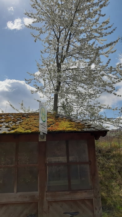
Eine kleine Ausfahrt in der Umgebung Wiens, hauptsächlich auf angenehmen Radwegen unterwegs. Nur Richtung Ursprung Dürre Liesing gehts ein wenig ins Gemüse. Um auf die Paraplui Strecke zu kommen, wäre ein Mountainbike notwendig gewesen, bzw. ev auch ein bisschen Geschiebe.
Galerie du tour
Carte du tour et altitude
Minimum height 192 m
Maximum height 440 m
Commentaires

Start in Meidling.
Tracks GPS
Trackpoints-
GPX / Garmin Map Source (gpx) download
-
TCX / Garmin Training Center® (tcx) download
-
CRS / Garmin Training Center® (crs) download
-
Google Earth (kml) download
-
G7ToWin (g7t) download
-
TTQV (trk) download
-
Overlay (ovl) download
-
Fugawi (txt) download
-
Kompass (DAV) Track (tk) download
-
Feuille de tours (pdf) download
-
Original file of the author (gpx) download
Add to my favorites
Remove from my favorites
Edit tags
Open track
My score
Rate


