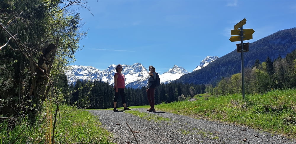
Eine wunderschöne einfach Wanderung welche neben landschaftlichen Höhenpunkten auch sehr viel Wissenwertes zum historischen Ort Lofer vermittelt.
Eine detailierte Beschreibung der Tour finden Sie im nachfolgenden Link.
Further information at
https://www.loferurlaub.at/triftsteig-lofer-au/Galerie du tour
Carte du tour et altitude
Minimum height 562 m
Maximum height 671 m
Commentaires

Tracks GPS
Trackpoints-
GPX / Garmin Map Source (gpx) download
-
TCX / Garmin Training Center® (tcx) download
-
CRS / Garmin Training Center® (crs) download
-
Google Earth (kml) download
-
G7ToWin (g7t) download
-
TTQV (trk) download
-
Overlay (ovl) download
-
Fugawi (txt) download
-
Kompass (DAV) Track (tk) download
-
Feuille de tours (pdf) download
-
Original file of the author (gpx) download
Add to my favorites
Remove from my favorites
Edit tags
Open track
My score
Rate


