Login

Login oublié ?

Cookies have to be accepted!
Your browser's cookie functionality is disabled. Please enable this functionality.

Not a member yet?

Register now
Login

Available for registred users only

Log in to use this feature.

Login oublié ?

Cookies have to be accepted!
Your browser's cookie functionality is disabled. Please enable this functionality.

Not a member yet?

Register now
Filter
Catégories
Advanced filters
  • Longueur (km)
  • Altimètre
Enregistrer le filtre Reset filter

TrackRank

QRCode

Technical data

Longueur44,2 km Altimètre1420 m Way down1401 m Durée03:45 h:m Date26.06.2008
Evaluations Author Paysage Aspect amusement Condition Technique

Statistiques

802 Vues Evaluations 88 Téléchargements Moyenne
Rate
  • Feuille de tours
  • Arrivée
  • Téléchargements

SCHWARZAU/GEB.-PREINTAL-GSCHEIDHOEHE-GIPPELALM-

GSCHEIDHOEHE-DONAUDOERFL-LAHNSATTEL-STILLE

MUERZ-PREINTAL-SCHWARZAU/GEB.

(auf den ersten 12 km bereits 1055hm einschließlich

Fußweg; zweiter Teil eher flach aber landschaftlich sehr schoen)
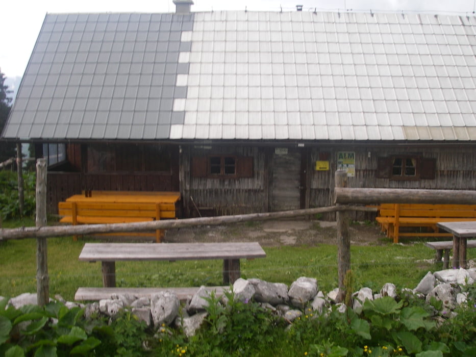
Galerie du tour

Carte du tour et altitude

  • Open Street Map
  • Google
Minimum height 599 m Maximum height 1505 m Vue de détail

More about the tour author

sportalf
Member since 2008

Send private message

Commentaires

Tracks GPS

Trackpoints
  • GPX / Garmin Map Source (gpx) download
  • TCX / Garmin Training Center® (tcx) download
  • CRS / Garmin Training Center® (crs) download
  • Google Earth (kml) download
  • G7ToWin (g7t) download
  • TTQV (trk) download
  • Overlay (ovl) download
  • Fugawi (txt) download
  • Kompass (DAV) Track (tk) download
  • Feuille de tours (pdf) download
  • Original file of the author (gpx) download

More about the tour author

sportalf
Member since 2008

Send private message
Share track
Add to my favorites
Remove from my favorites
Edit tags
My score
Rate
Tour: PREINTAL-GIPPEL
Cat.: Mountainbike
Longueur: 44,2 km
Evaluated on:
Durée:
Day(s)
Hour(s)
Minute(s)
Evaluation: Paysage Aspect amusement Condition Technique