


Wir starten beim Hotel Zerres in Partenen, fahren bis in die zweite Kehre der Silvrettastrasse. Dort zweigen wir ab in Richtung Ganifer/Kops. Bis Ganifer haben wir noch Asphalt. Danach folgt ein sehr steiler und kurvenreicher Anstieg auf Schotter. Kurz vor Kops zweigen wir ab in Richtung Verbellaalpe. Hier können wir die Flaschen nochmals mit frischem Wasser füllen, bevor dann die letzten ca. 300 Höhenmeter bis zur Forkla - dem höchsten Punkt dieser Tour - in Angriff genommen werden.
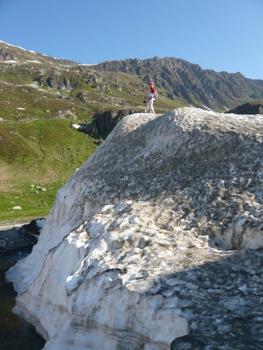
Ab der Forkla geht es bergab in grandioser Landschaft bis zur Gibau Alpe. Ab dort kommt eine Schiebe- Tragepassage von ca. 1/2 Stunde durch ein Waldstück bis hinunter ins Valschavieltal.
Im Valschavieltal angekommen können wir uns wieder auf die Bikes schwingen und zum Teil über Schotter, zum Teil über Wiesenwege und am Schluß über Asphalt zurück nach Partenen fahren.
Landschaftlich ist dies für mich eine der schönsten Touren überhaupt.
Galerie du tour


Carte du tour et altitude
Minimum height 960 m
Maximum height 2265 m
More about the tour author
|
|
Gueni |
Commentaires
Tracks GPS
Trackpoints-
GPX / Garmin Map Source (gpx) download
-
TCX / Garmin Training Center® (tcx) download
-
CRS / Garmin Training Center® (crs) download
-
Google Earth (kml) download
-
G7ToWin (g7t) download
-
TTQV (trk) download
-
Overlay (ovl) download
-
Fugawi (txt) download
-
Kompass (DAV) Track (tk) download
-
Feuille de tours (pdf) download
-
Original file of the author (gpx) download
More about the tour author
|
|
Gueni |
Add to my favorites
Remove from my favorites
Edit tags
Open track
My score
Rate
Sehr lohnende