


Wandern zum NSG Ginsterpfad
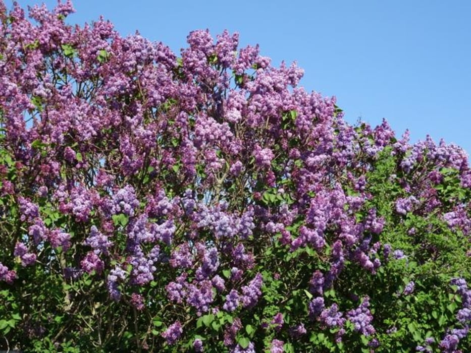
Die Wanderung führt weitgehend durch offenes Land, zunächst durch einen Grünzug im Longericher Wohngebiet. Passiert werden ein Pferdeschutzhof und eine aufgelassene Siedlung bevor es längs einer Fahrradstraße in eine Kleingartensiedlung geht, die mittlerweile den Eindruck eines Wohngebietes macht. Nach einer Art Schleife in das begehbare Areal am eingezäunten Naturschutzgebiet Ginsterpfad wird ein Aussichtspunkt erreicht, der je nach Vegetationszeitpunkt einen Blick auf die Kiesgrube zulässt. Sie ist weiträumig eingezäunt, um Wasservögeln vor allem ein Schutzgebiet zu bieten. Zum ÖPNV zurück geht die Wanderung weitgehend durch offenes Land mit weitem Ausblick. Oftmals zeiehn die in Köln/Bonn landenden Maschinen in 1000 – 1500 m Höhe über die Landschaft – immer wieder beeindruckend bei blauem Himmel oder ihrem Flug durch die aufgerissene Wolkendecke.
Galerie du tour


Carte du tour et altitude
Minimum height 47 m
Maximum height 53 m
More about the tour author

|
nc-drbefranetcologne |
Commentaires

Start: Hst. Meerfeldstr. von KVB-Linie 15
Ziel: Hst. Herforder Str. von KVB-Linie 15
Tracks GPS
Trackpoints-
GPX / Garmin Map Source (gpx) download
-
TCX / Garmin Training Center® (tcx) download
-
CRS / Garmin Training Center® (crs) download
-
Google Earth (kml) download
-
G7ToWin (g7t) download
-
TTQV (trk) download
-
Overlay (ovl) download
-
Fugawi (txt) download
-
Kompass (DAV) Track (tk) download
-
Feuille de tours (pdf) download
-
Original file of the author (gpx) download
More about the tour author
|
|
nc-drbefranetcologne |
Add to my favorites
Remove from my favorites
Edit tags
Open track
My score
Rate