


- Schliersee-Breitenbach
- Hausham
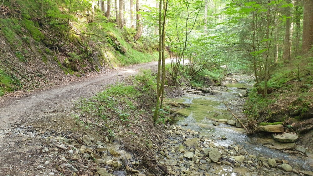
- Prüstling
- Kalkgraben
- Attenberg
- Rohnbachtal
- Wörnsmühl (Gasthaus Nägele)
- Drachenthal
- Leitzachtal
- Untergschwend
- Faistenau
- Trach
- Märchenwald
- Aurach
- Spitzingstraße
- Filzenweg
- Dürnbachweg
- Neuhaus
- Bahnhof Fischhausen-Neuhaus
- Fischhausen
- Schliersee-Breitenbach
- Hausham
- Prüstling
- Kalkgraben
- Attenberg
- Rohnbachtal
- Wörnsmühl (Gasthaus Nägele)
- Drachenthal
- Leitzachtal
- Untergschwend
- Faistenau
- Trach
- Märchenwald
- Aurach
- Spitzingstraße
- Filzenweg
- Dürnbachweg
- Neuhaus
- Bahnhof Fischhausen-Neuhaus
- Fischhausen
- Schliersee-Breitenbach
Galerie du tour


Carte du tour et altitude
Minimum height 696 m
Maximum height 851 m
More about the tour author

|
Commentaires

Von München über die A8 bis zur Ausfahrt Weyarn. Von dort der ST2073 bis nach Miesbach und weiter der B307 nach Hausham und Schliersee folgen. In Schliersee in der Nähe des Campingplatzes in Breitenbach gibt es einen kleinen Parkplatz.
Tracks GPS
Trackpoints-
GPX / Garmin Map Source (gpx) download
-
TCX / Garmin Training Center® (tcx) download
-
CRS / Garmin Training Center® (crs) download
-
Google Earth (kml) download
-
G7ToWin (g7t) download
-
TTQV (trk) download
-
Overlay (ovl) download
-
Fugawi (txt) download
-
Kompass (DAV) Track (tk) download
-
Feuille de tours (pdf) download
-
Original file of the author (tcx) download
More about the tour author
|
|
Add to my favorites
Remove from my favorites
Edit tags
Open track
My score
Rate