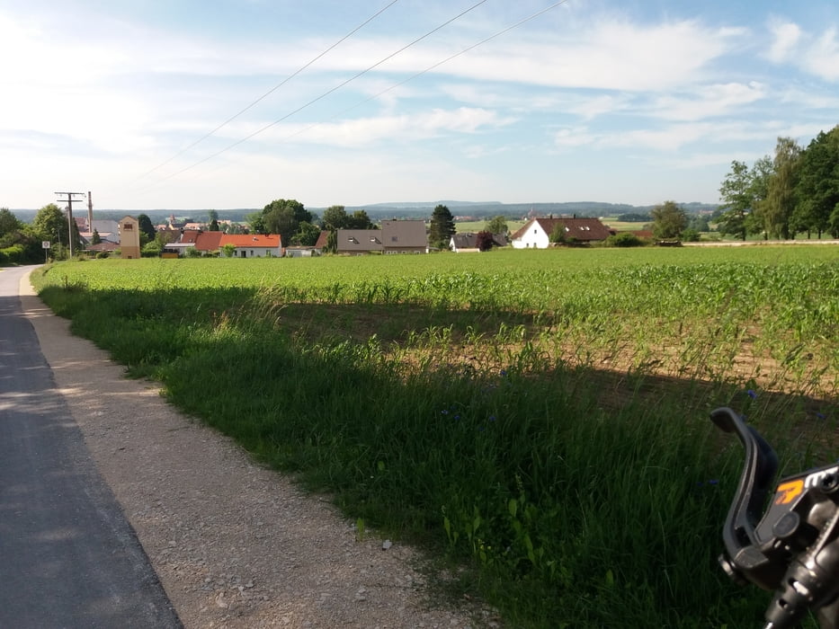
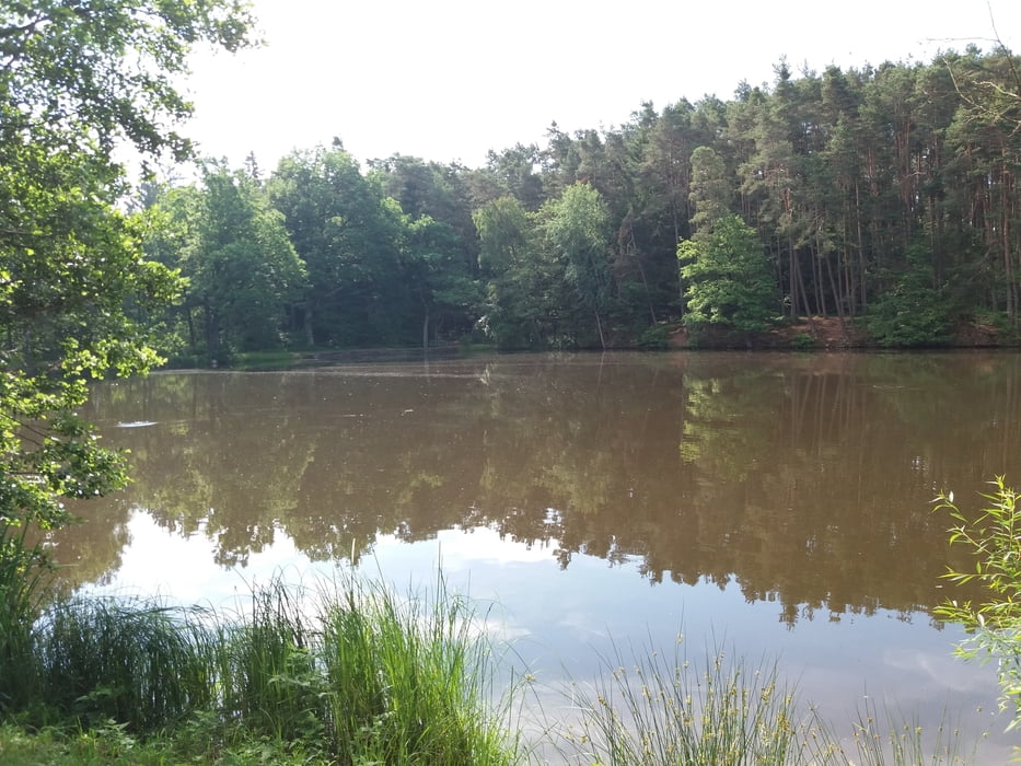
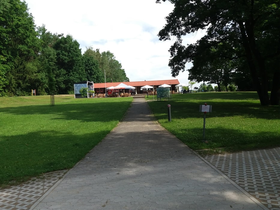
Von Herrieden nach Bechhofen an der Heide zum Krummweiher hier besteht die Möglichkeit zum Baden oder zur Einkehr am Kiosk. Weiter ins Friedrichsthal zum Dennenloher See. Hier kann man links am See entlangfahren dieser Weg ist aber oft sehr naß. Ich bin rechts herum über die Teerstraße um den See gefahren. Zurück geht es über Voggendorf durch die Bechhofener Heide nach Herrieden.
Galerie du tour
Carte du tour et altitude
Minimum height 420 m
Maximum height 502 m
Commentaires

Tracks GPS
Trackpoints-
GPX / Garmin Map Source (gpx) download
-
TCX / Garmin Training Center® (tcx) download
-
CRS / Garmin Training Center® (crs) download
-
Google Earth (kml) download
-
G7ToWin (g7t) download
-
TTQV (trk) download
-
Overlay (ovl) download
-
Fugawi (txt) download
-
Kompass (DAV) Track (tk) download
-
Feuille de tours (pdf) download
-
Original file of the author (gpx) download
Add to my favorites
Remove from my favorites
Edit tags
Open track
My score
Rate


