


Eine leichte MTB Tour Rundum den Naturpark Zirbitzkogel Grebenzen.
Start in St. Marein bei Neumarkt Richtung Westen nach Mühldorf und über die Urtel, vorbei am Bahnhof Neumarkt zum Vogelschutzgebiet Furtnerteich. (Bademöglichkeit).
Die Wehrkirche Mariahof liegt auf einem imposanten Hügel, der jedoch entlang der Aspaltstraße leicht zu bezwingen ist. Die Abfahrt erfolgt in Richtung Adendorf und folg danach der Landesstraße Richtung St Lambrecht bie zur Abzweigung Forst.
Hier beginnt der erste nennenswerte Anstieg über Schilcherhof und der Forststraße folgend zum Podolerteich. Weiter über den Muhrenteich nach Zeutschach und zweiter Anstieg über Toscha in die Pöllau. Der höchste Punkt dieser Tour ist erreicht und entlang der Asphaltstraße geht es bergab zum Ausgangspunkt zurück.
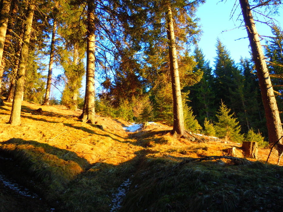
Galerie du tour

Carte du tour et altitude
Minimum height 823 m
Maximum height 1187 m
More about the tour author
|
|
sportfred1611 |
Commentaires

Parkplatz in St. Marein bei der Kirche oder in Mühldorf (Graggerschlucht Parkplatz) sind ideale Ausgangspunkte.
Bei Anreise mit der Eisenbahn kann auch direkt am Bahnhof Neumarkt in die Tour Richtung Furtnerteich eingestiegen werden.
Tracks GPS
Trackpoints-
GPX / Garmin Map Source (gpx) download
-
TCX / Garmin Training Center® (tcx) download
-
CRS / Garmin Training Center® (crs) download
-
Google Earth (kml) download
-
G7ToWin (g7t) download
-
TTQV (trk) download
-
Overlay (ovl) download
-
Fugawi (txt) download
-
Kompass (DAV) Track (tk) download
-
Feuille de tours (pdf) download
-
Original file of the author (gpx) download
More about the tour author
|
|
sportfred1611 |
Add to my favorites
Remove from my favorites
Edit tags
Open track
My score
Rate