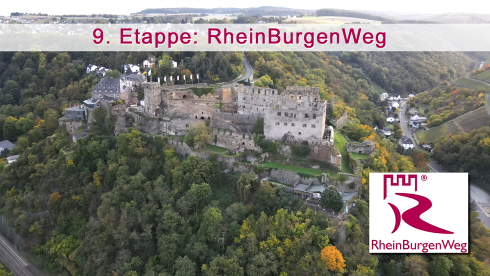
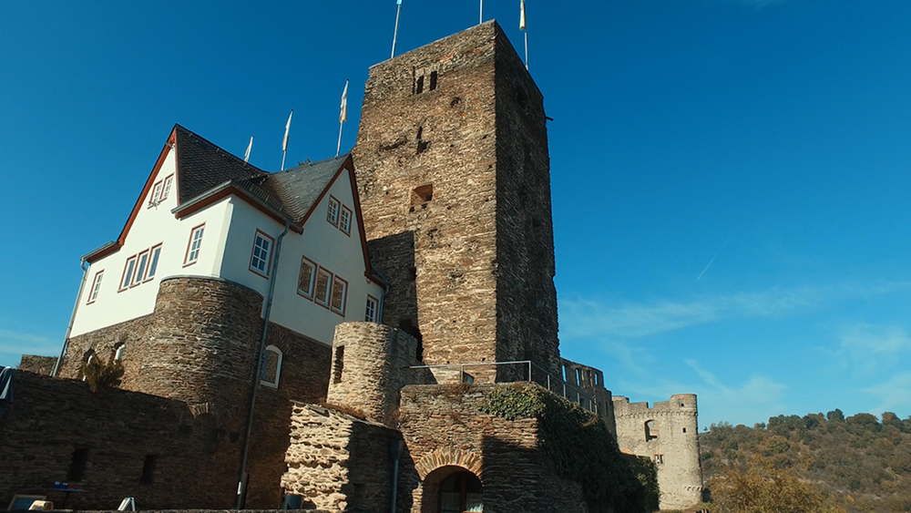
Sehr abwechslungsreich und anspruchsvoll ist die 9. Etappe des RBW von Bad Salzig nach St. Goar. Urige Täler fordern unsere Kondition heraus und atemberaubende Aussichten sind der Mühe Lohn. Ab Holzfeld dominiert rauschender Wald bevor uralte Pfade an der unmittelbaren Hangkante nach St. Goar zur Festung Rheinfels führen und Mittelalterflair aufkommt.
Galerie du tour
Carte du tour et altitude
Minimum height 62 m
Maximum height 298 m
Commentaires

Tracks GPS
Trackpoints-
GPX / Garmin Map Source (gpx) download
-
TCX / Garmin Training Center® (tcx) download
-
CRS / Garmin Training Center® (crs) download
-
Google Earth (kml) download
-
G7ToWin (g7t) download
-
TTQV (trk) download
-
Overlay (ovl) download
-
Fugawi (txt) download
-
Kompass (DAV) Track (tk) download
-
Feuille de tours (pdf) download
-
Original file of the author (gpx) download
Add to my favorites
Remove from my favorites
Edit tags
Open track
My score
Rate


