

Wir starten am Bahnhof Kempen. Über Kerken, Issum und Alpen gelangen wir an den Rhein, den wir bei Wesel überqueren. Weiter nach Westen Richtung Schmerbeck, dann weiter zum Schloss Lembeck. Auf den verbleibenden Kilometern bis Haltern sind dann noch ein paar Höhenmeter zu bewältigen.
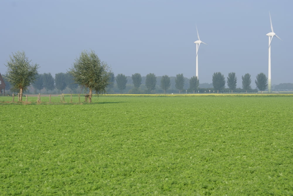
Landschaftlich unspektakulär, doch kann man schön den Wechsel der Niederrheinlandschaft in die hügeligere Gegend des Münsterlandes verfolgen.
Carte du tour et altitude
Minimum height 16 m
Maximum height 133 m
More about the tour author

|
Commentaires

Tracks GPS
Trackpoints-
GPX / Garmin Map Source (gpx) download
-
TCX / Garmin Training Center® (tcx) download
-
CRS / Garmin Training Center® (crs) download
-
Google Earth (kml) download
-
G7ToWin (g7t) download
-
TTQV (trk) download
-
Overlay (ovl) download
-
Fugawi (txt) download
-
Kompass (DAV) Track (tk) download
-
Feuille de tours (pdf) download
-
Original file of the author (gpx) download
More about the tour author
|
|
Add to my favorites
Remove from my favorites
Edit tags
Open track
My score
Rate