
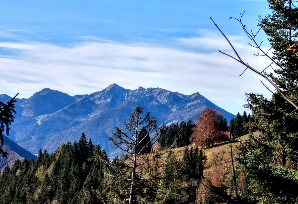

Von Marquartstein Richtung Hochgern zum Röthelmoos um den Rechenberg.
Startpunkt ist der Parkplatz in Marquartstein. Vom Parkplatz Richtung Hochgern zur Agersgschwendalm mit Einkehrmöglichkeit. Leider ist ab hier die Strecke für Mountainbiker gesperrt, also ein Stück zurück und weiter zum Röthelmoos. Dort biegen wir rechts ab nach Oberwössen. Der Hauptstrasse folgen bis Unterwössen und ab hier auf den Radweg zurück nach Marquartstein zum Parkplatz.
ca. 30 Kilometer und ca. 1400 HM
Galerie du tour


Carte du tour et altitude
Minimum height 541 m
Maximum height 1263 m
More about the tour author

|
Triathlet53 |
Commentaires
Tracks GPS
Trackpoints-
GPX / Garmin Map Source (gpx) download
-
TCX / Garmin Training Center® (tcx) download
-
CRS / Garmin Training Center® (crs) download
-
Google Earth (kml) download
-
G7ToWin (g7t) download
-
TTQV (trk) download
-
Overlay (ovl) download
-
Fugawi (txt) download
-
Kompass (DAV) Track (tk) download
-
Feuille de tours (pdf) download
-
Original file of the author (gpx) download
More about the tour author
|
|
Triathlet53 |
Add to my favorites
Remove from my favorites
Edit tags
Open track
My score
Rate
Schneelage
Schneelage
ich hab vergessen das Datum zu ändern hab ich nachgeholt.
Bin die Runde im Herbst gefahren ist im Winter denke ich keine gute Idee sie zu fahren.
Viele Grüße
Hubert