Login

Login oublié ?

Cookies have to be accepted!
Your browser's cookie functionality is disabled. Please enable this functionality.

Not a member yet?

Register now
Login

Available for registred users only

Log in to use this feature.

Login oublié ?

Cookies have to be accepted!
Your browser's cookie functionality is disabled. Please enable this functionality.

Not a member yet?

Register now
Filter
Catégories
Advanced filters
  • Longueur (km)
  • Altimètre
Enregistrer le filtre Reset filter

TrackRank

QRCode

Technical data

Longueur17,9 km Altimètre626 m Way down624 m Durée00:00 h:m Date17.03.2022
Evaluations Author Paysage Aspect amusement Condition Technique

Statistiques

128 Vues Evaluations 25 Téléchargements Moyenne
Rate
  • Feuille de tours
  • Arrivée
  • Téléchargements
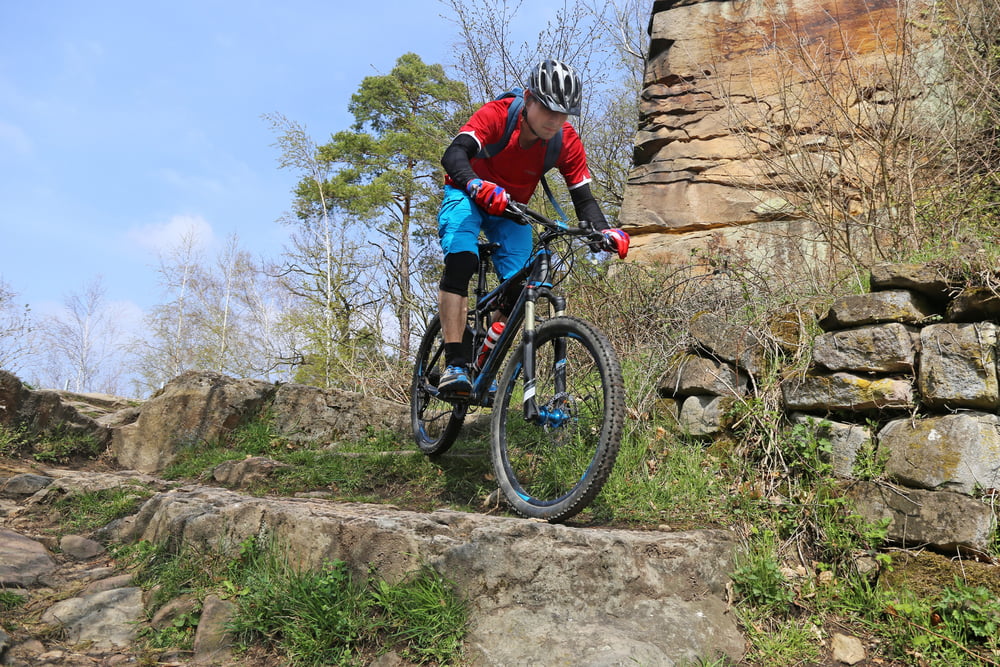
Die bekannte Weinbietrunde die im Bike-Magazin 2007 vorgestellt wurde und seitdem zu einem Klassiker unter technikaffinen Bikern geworden ist habe ich leicht verändert: Der Aufstieg ist fast durchgängig auf breiten Wegen, manchmal etwas steil aber durchgängig leicht fahrbar. Die Abfahrt ist wie gehabt, mit verblockten Trails, Spitzkehren und Treppen zur Wolfsburg und dann zurück zum Ausgangspunkt.

Carte du tour et altitude

  • Open Street Map
  • Google
Minimum height 145 m Maximum height 542 m Vue de détail

More about the tour author

U.J._Alexander
Member since 2011

Send private message

Commentaires

Parkplatz in Höhe der Sportanlagen in der Sauterstraße, 67433 Neustadt

Tracks GPS

Trackpoints
  • GPX / Garmin Map Source (gpx) download
  • TCX / Garmin Training Center® (tcx) download
  • CRS / Garmin Training Center® (crs) download
  • Google Earth (kml) download
  • G7ToWin (g7t) download
  • TTQV (trk) download
  • Overlay (ovl) download
  • Fugawi (txt) download
  • Kompass (DAV) Track (tk) download
  • Feuille de tours (pdf) download
  • Original file of the author (gpx) download

More about the tour author

U.J._Alexander
Member since 2011

Send private message
Share track
Add to my favorites
Remove from my favorites
Edit tags
My score
Rate
Tour: Weinbietrunde (leichter Aufstieg, schwierige Abfahrt)
Cat.: Mountainbike
Longueur: 17,9 km
Evaluated on:
Durée:
Day(s)
Hour(s)
Minute(s)
Evaluation: Paysage Aspect amusement Condition Technique