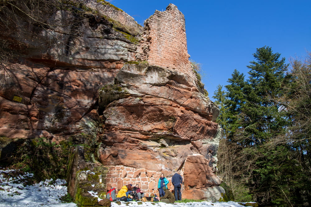
Wie könnte es anders sein, auf diesem Weg kommen wir an drei Burgen vorbei. Nach den beiden Burgruinen Erfenstein und Breitenstein erreichen wir kurz vor Ende der Tour die Burg Spangenberg.
Galerie du tour
Carte du tour et altitude
Minimum height 178 m
Maximum height 311 m
Commentaires

Wanderparkplatz Spangenberg in Erfenstein, direkt an der L 499. Mit Bushaltestelle
Tracks GPS
Trackpoints-
GPX / Garmin Map Source (gpx) download
-
TCX / Garmin Training Center® (tcx) download
-
CRS / Garmin Training Center® (crs) download
-
Google Earth (kml) download
-
G7ToWin (g7t) download
-
TTQV (trk) download
-
Overlay (ovl) download
-
Fugawi (txt) download
-
Kompass (DAV) Track (tk) download
-
Feuille de tours (pdf) download
-
Original file of the author (gpx) download
Add to my favorites
Remove from my favorites
Edit tags
Open track
My score
Rate


