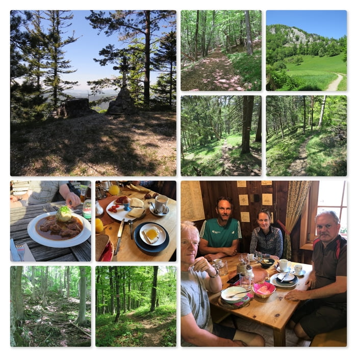
Nun beginnt der Abstieg über den Weissriegel (826m). Das starke Gefälle geht bis zum Staffgrabenbach.
Dort stoßen wir auf eine Forststraße und dieser Folgen wir, an der Staffbrücke vorbei, bis zurück zum Parkplatzauf der Further Landstraße.
Further information at
https://www.kieneck.at/Carte du tour et altitude
Minimum height 433 m
Maximum height 1078 m
Commentaires

Parkplatz an den Koordiaten: N47° 58' 24.1" E15° 58' 22.4"
Tracks GPS
Trackpoints-
GPX / Garmin Map Source (gpx) download
-
TCX / Garmin Training Center® (tcx) download
-
CRS / Garmin Training Center® (crs) download
-
Google Earth (kml) download
-
G7ToWin (g7t) download
-
TTQV (trk) download
-
Overlay (ovl) download
-
Fugawi (txt) download
-
Kompass (DAV) Track (tk) download
-
Feuille de tours (pdf) download
-
Original file of the author (gpx) download
Add to my favorites
Remove from my favorites
Edit tags
Open track
My score
Rate

