


EMTB Tour. Da die Tour natürlich aber auch für MTBer interessant ist, ist sie unter der Rubrik Mountainbike gelistet.
Der Autor weist besonders darauf hin, dass sämtliche Touren auf manchen Teilen einem Fahrverbot unterliegen können. Auf diesen Teilen ist das Rad bzw. Mountainbike zu schieben. Jegliche Haftung für den Autor ist ausgeschlossen.
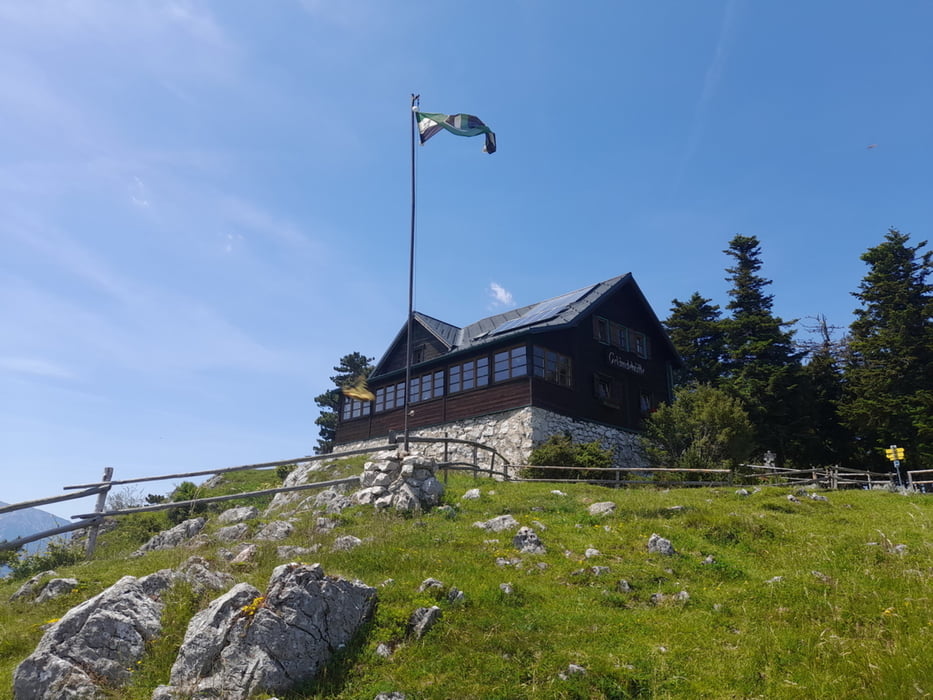
Fahrbahn: Asphalt, Forstwege, Wanderwege. Forstwege einige Teilstücke sehr steinig. Es gibt ein kurzes ca. 100m langes Schiebestück zwischen Scheimhütte und Gelände Hütte.
Galerie du tour

Carte du tour et altitude
Minimum height 526 m
Maximum height 1162 m
More about the tour author
|
|
seppwimmer |
Commentaires

Tracks GPS
Trackpoints-
GPX / Garmin Map Source (gpx) download
-
TCX / Garmin Training Center® (tcx) download
-
CRS / Garmin Training Center® (crs) download
-
Google Earth (kml) download
-
G7ToWin (g7t) download
-
TTQV (trk) download
-
Overlay (ovl) download
-
Fugawi (txt) download
-
Kompass (DAV) Track (tk) download
-
Feuille de tours (pdf) download
-
Original file of the author (gpx) download
More about the tour author
|
|
seppwimmer |
Add to my favorites
Remove from my favorites
Edit tags
Open track
My score
Rate