


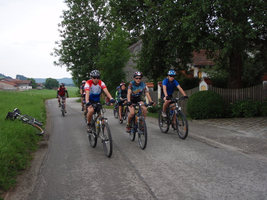
Auf Nebenstraßen und Radwegen geht es mit leichten Steigungen und Abfahrten durch das Bayerische und Österreichische Voralpenland. Herrliche Badeseen laden zum Erfrischen ein.
Gemütliche Gasthäuser in schönen Orten bieten Landesübliche Speisen zu moderaten Preisen und günstige Übernachtungsmöglichkeiten.
Campingplätze gibt es in Waging am See, am Abtsdorfersee bei Laufen, und am Obertrumersee.
Further information at
http://www.bajuwarentour.de/Galerie du tour
Carte du tour et altitude
Minimum height 362 m
Maximum height 620 m
More about the tour author
|
|
transalpfan |
Commentaires

Bei einem Start in Waging Fährt man am besten die A8 bis Traunstein und folgt den Wegweisern nach Waging am See.
Bei Anreise mit der Bahn empfielt es sich über München-Mühldorf bis nach Laufen zu Fahren.
Tracks GPS
Trackpoints-
GPX / Garmin Map Source (gpx) download
-
TCX / Garmin Training Center® (tcx) download
-
CRS / Garmin Training Center® (crs) download
-
Google Earth (kml) download
-
G7ToWin (g7t) download
-
TTQV (trk) download
-
Overlay (ovl) download
-
Fugawi (txt) download
-
Kompass (DAV) Track (tk) download
-
Feuille de tours (pdf) download
-
Original file of the author (gpx) download
More about the tour author
|
|
transalpfan |
Add to my favorites
Remove from my favorites
Edit tags
Open track
My score
Rate