


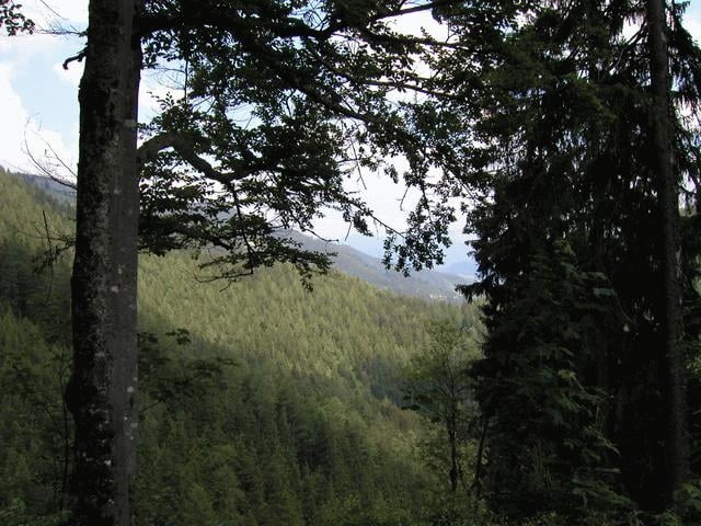
Eine Kombination aus Sonnbrand-, Kitzhütten- und Panoramatour ergibt saftige Anstiege über Forststrassen, flotte Downhills und gute Verpflegung auf der Kitzhütte. Besonders von der Alm hat man wunderschöne Ausblicke über das Alpenvorland.
Die Strecke ist von Göstling aus gut beschildert, nur beim Abbiegen auf die Panorama-Tour vor Hollenstein muss man aufpassen, da diese nur in die Gegenrichtung geführt ist. Gegen einen Abstecher hinunter nach Hollenstein spricht aber auch nichts.
Die Strecke ist von Göstling aus gut beschildert, nur beim Abbiegen auf die Panorama-Tour vor Hollenstein muss man aufpassen, da diese nur in die Gegenrichtung geführt ist. Gegen einen Abstecher hinunter nach Hollenstein spricht aber auch nichts.
Galerie du tour
Carte du tour et altitude
Minimum height 496 m
Maximum height 1371 m
More about the tour author

|
hekker |
Commentaires

Heinz
on 27.06.2006
Alles gut fumtioniert, nette Tagestour
Von der A1 in Ybbs/Donau abfahren und der B25 in Richtung Göstling/Hochkar folgen.
Tracks GPS
Trackpoints-
GPX / Garmin Map Source (gpx) download
-
TCX / Garmin Training Center® (tcx) download
-
CRS / Garmin Training Center® (crs) download
-
Google Earth (kml) download
-
G7ToWin (g7t) download
-
TTQV (trk) download
-
Overlay (ovl) download
-
Fugawi (txt) download
-
Kompass (DAV) Track (tk) download
-
Feuille de tours (pdf) download
-
Original file of the author (g7t) download
More about the tour author
|
|
hekker |
Add to my favorites
Remove from my favorites
Edit tags
Open track
My score
Rate