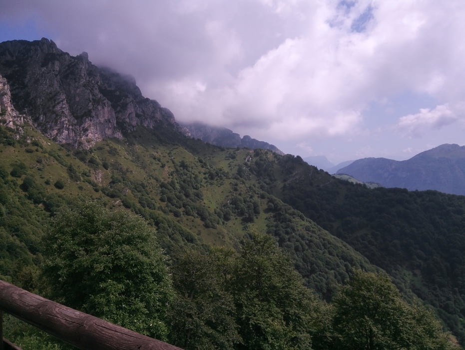
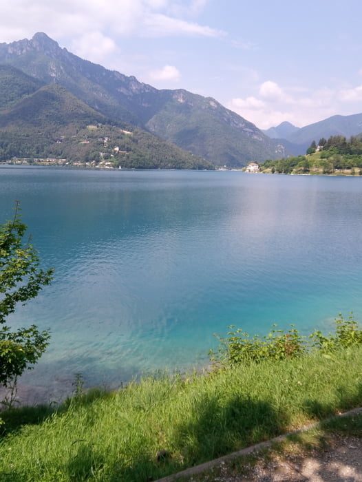
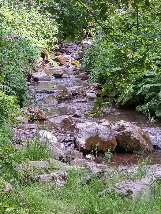
Vom Campingplatz Azzurro erst am See entlang und dann steil hinauf zur Bocca Fortini. Viele steile Betonrampen. Dann auf Schotter weiter hinauf zum Albergo Garda / Tremalzo. Auf Wiesentrail abgekürzt zur Straße und dann den Trail zur Malga Caset und auf spannenden Trail ins Tal S1-S2. Letztes Teilstück geht an der Telegrafenleitung runter. Bocksteil. S3 Zurück zum Campingplatz. 500er Akku hat gereicht.
Galerie du tour
Carte du tour et altitude
Minimum height 655 m
Maximum height 1781 m
Commentaires

Tracks GPS
Trackpoints-
GPX / Garmin Map Source (gpx) download
-
TCX / Garmin Training Center® (tcx) download
-
CRS / Garmin Training Center® (crs) download
-
Google Earth (kml) download
-
G7ToWin (g7t) download
-
TTQV (trk) download
-
Overlay (ovl) download
-
Fugawi (txt) download
-
Kompass (DAV) Track (tk) download
-
Feuille de tours (pdf) download
-
Original file of the author (gpx) download
Add to my favorites
Remove from my favorites
Edit tags
Open track
My score
Rate


