Login

Login oublié ?

Cookies have to be accepted!
Your browser's cookie functionality is disabled. Please enable this functionality.

Not a member yet?

Register now
Login

Available for registred users only

Log in to use this feature.

Login oublié ?

Cookies have to be accepted!
Your browser's cookie functionality is disabled. Please enable this functionality.

Not a member yet?

Register now
Filter
Catégories
Advanced filters
  • Longueur (km)
  • Altimètre
Enregistrer le filtre Reset filter

TrackRank

QRCode

Technical data

Longueur57,2 km Altimètre1531 m Way down1524 m Durée07:00 h:m Date03.03.2023
Evaluations Author Paysage Aspect amusement Condition Technique

Statistiques

141 Vues Evaluations 2 Téléchargements Moyenne
Rate
  • Feuille de tours
  • Arrivée
  • Téléchargements
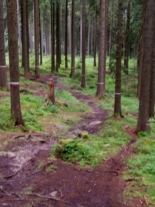
leider ist vor Rittersgrün mein Handyakku abgekackt, so dass ich die Touraufzeichnung nicht beenden konnte. Bin dann auf der Straße zurück zum Trailcenter. Insgesamt waren es 64 km und 1.800 hm mit 500 Wattakku. Rest Akku weniger wie 10%.

Galerie du tour

Carte du tour et altitude

  • Open Street Map
  • Google
Minimum height 575 m Maximum height 1211 m Vue de détail

More about the tour author

Fruehaufsteher
Member since 2008

Send private message

Commentaires

Tracks GPS

Trackpoints
  • GPX / Garmin Map Source (gpx) download
  • TCX / Garmin Training Center® (tcx) download
  • CRS / Garmin Training Center® (crs) download
  • Google Earth (kml) download
  • G7ToWin (g7t) download
  • TTQV (trk) download
  • Overlay (ovl) download
  • Fugawi (txt) download
  • Kompass (DAV) Track (tk) download
  • Feuille de tours (pdf) download
  • Original file of the author (gpx) download

More about the tour author

Fruehaufsteher
Member since 2008

Send private message
Share track
Add to my favorites
Remove from my favorites
Edit tags
My score
Rate
Tour: E-MTB Sachsen Trail Variante
Cat.: Mountainbike
Longueur: 57,2 km
Evaluated on:
Durée:
Day(s)
Hour(s)
Minute(s)
Evaluation: Paysage Aspect amusement Condition Technique