

- Rundkurs gegen den Uhrzeigersinn.
- Start/Ziel: St. Ulrich(Grödental).
- Wegbeschaffenheit: Schotter/Asfalt. Kurzer Abschnitt ab Pufels holprig/steil. Kann auf der Asfaltstrasse(war wegen Holzarbeiten gesperrt) umfahren werden.
- Aufstieg von St.Ulrich nach Pufels auf Asfalt/Schotter, guter Untergrund. Mehrere Abschnitte 15% Steigung.
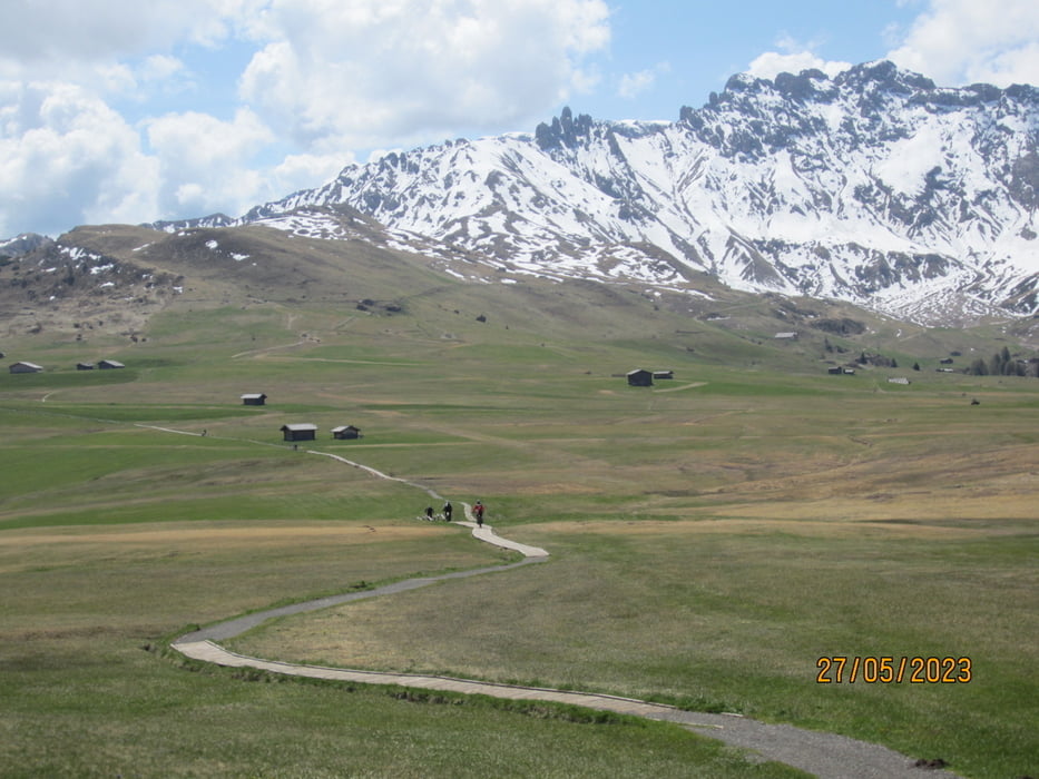
- Herrliches Seiseralm-Panorama.
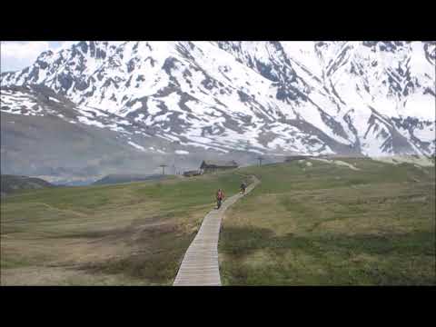
- Abfahrt auf Schotterweg nach Wolkenstein.
- Weiter nach St. Ulrich auf Radweg, bzw. wenig befahrener Strasse.
- Viele Einkehrmöglichkeiten.
- Ein Dankeschön an die ortskundigen Radfreunde Ewald und Markus, welche uns zu dieser schönen Tour eingeladen haben.
- Tour mit dem E-MTB gefahren.
Galerie du tour


Carte du tour et altitude
Minimum height 1083 m
Maximum height 2080 m
More about the tour author
|
|
MargesinFriedrich |
Commentaires

Tracks GPS
Trackpoints-
GPX / Garmin Map Source (gpx) download
-
TCX / Garmin Training Center® (tcx) download
-
CRS / Garmin Training Center® (crs) download
-
Google Earth (kml) download
-
G7ToWin (g7t) download
-
TTQV (trk) download
-
Overlay (ovl) download
-
Fugawi (txt) download
-
Kompass (DAV) Track (tk) download
-
Feuille de tours (pdf) download
-
Original file of the author (gpx) download
More about the tour author
|
|
MargesinFriedrich |
Add to my favorites
Remove from my favorites
Edit tags
Open track
My score
Rate