

Der Weg führt anfangs entlang der Dhünn bis zur Knochenmühle. Von dort führt unser Weg hinauf über die L101 nach Well und Eipringhausen. Ein steiler Pfad bringt uns hinab ins Eifgenbachtal nahe Wermelskirchen. Wir wenden uns aber weg vom Ort und folgen dem Eifgenbach einige Zeit bis uns des Dreieck wieder hoch zur L101 führt. Dem Dreieck folgen wir weiter auf sehr schmalem und selten begangenen Pfad hinab Richtung Dhünn. Erst gegen Ende wird der Weg wieder breiter und führt uns wieder zurück in den Ort und zu unserem Startpunkt.
Fazit: Der Weg ist sehr abwechslungsreich und verläuft stellenweise auf schmalen, selten begangenen Pfaden. Einkehrmöglichkeiten gibt es in Dhünn, sowie in Wermelkirchen, wenn man einen kleinen Abstecher machen will.
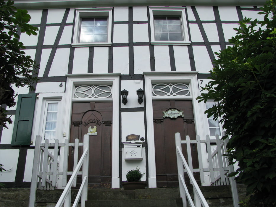
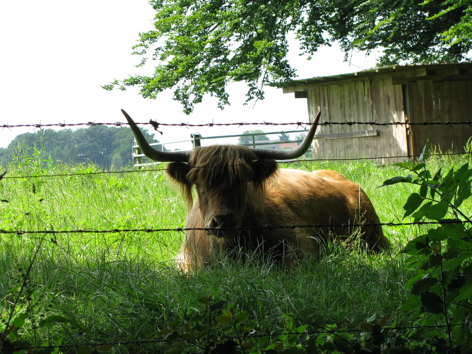
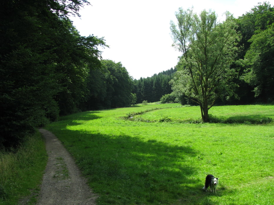
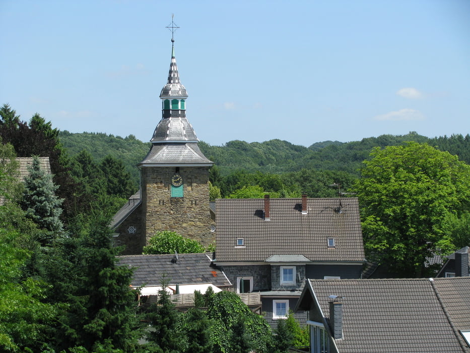
Galerie du tour

Carte du tour et altitude
Minimum height 195 m
Maximum height 326 m
More about the tour author

|
Commentaires

Wanderparkplatz in Dhünn (an der Kirche ausgeschildert)
Tracks GPS
Trackpoints-
GPX / Garmin Map Source (gpx) download
-
TCX / Garmin Training Center® (tcx) download
-
CRS / Garmin Training Center® (crs) download
-
Google Earth (kml) download
-
G7ToWin (g7t) download
-
TTQV (trk) download
-
Overlay (ovl) download
-
Fugawi (txt) download
-
Kompass (DAV) Track (tk) download
-
Feuille de tours (pdf) download
-
Original file of the author (gpx) download
More about the tour author
|
|
Add to my favorites
Remove from my favorites
Edit tags
Open track
My score
Rate