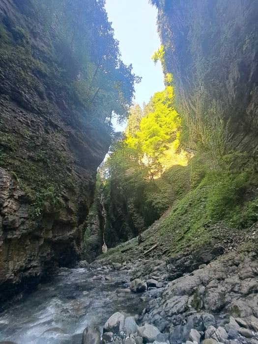
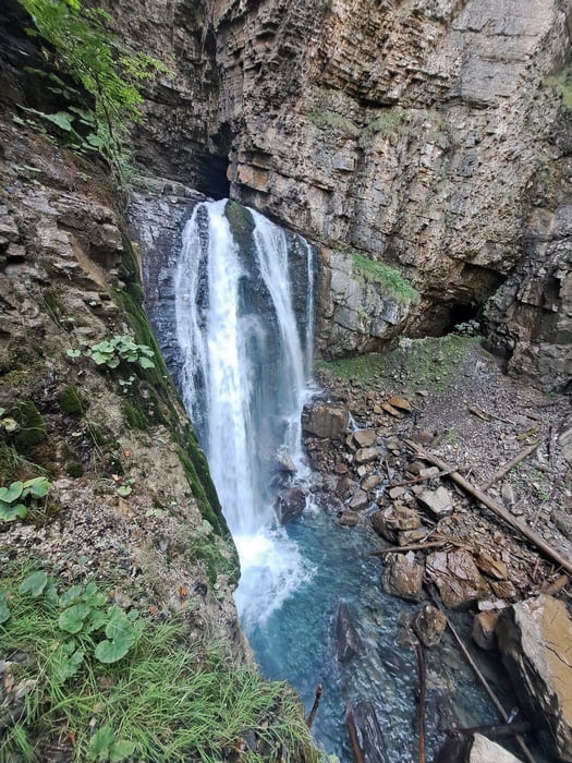
Sehr beeindruckende Schlucht.
Trittsicherheit ist Pflicht.
In der Schlucht ist der GPS-Track etwas zick zack. Das stimmt so nicht, der Empfang war nur schlecht. Der Weg ist aber eindeutig und nicht zu verfehlen.
Wer es gerne frisch mag pack die Badesachen ein. Es gibt "Badestellen".
Insbesondere im Hochsommer eine wilkommene Flucht vor der Hitze.
Galerie du tour
Carte du tour et altitude
Minimum height 672 m
Maximum height 960 m
Commentaires

Das Laternsertal rein und am Beginn des Tracks am offentlichen Parkplatz parken.
Tracks GPS
Trackpoints-
GPX / Garmin Map Source (gpx) download
-
TCX / Garmin Training Center® (tcx) download
-
CRS / Garmin Training Center® (crs) download
-
Google Earth (kml) download
-
G7ToWin (g7t) download
-
TTQV (trk) download
-
Overlay (ovl) download
-
Fugawi (txt) download
-
Kompass (DAV) Track (tk) download
-
Feuille de tours (pdf) download
-
Original file of the author (gpx) download
Add to my favorites
Remove from my favorites
Edit tags
Open track
My score
Rate


