


Vom Parkplatz beim Speicher Gößkar in 1 Std. hinauf zur Gießener Hütte. Übernachtung.
Am nächsten Tag auf dem Steig Richtung Lassacher Winklscharte (Hochalmspitze) bis zur Abzweigung in Höhe 2.662m.
Jetzt zum Teil über Blockwerk hinauf zum Gipfel des Schneewinklspitz, den ein originelles Steinkreuz schmückt.
Weiter auf dem Detmolder Grat, welcher ausgesetzt und zum Teil seilversichert ist hinüber zum Säuleck (Klettersteig B/C).
Kurz vor dem Gipfel in 1/4 Std. rechts hinauf zum Gipfelkreuz.
Als Abstieg südlich hinunter und kurz hinauf zur Mallnitzer Scharte. Auf dem Buderusweg zurück zur Gießener Hütte (8 Std.) und hinab zum Parkplatz.
Trittsicherheit und Schwindelfreiheit ist Voraussetzung!
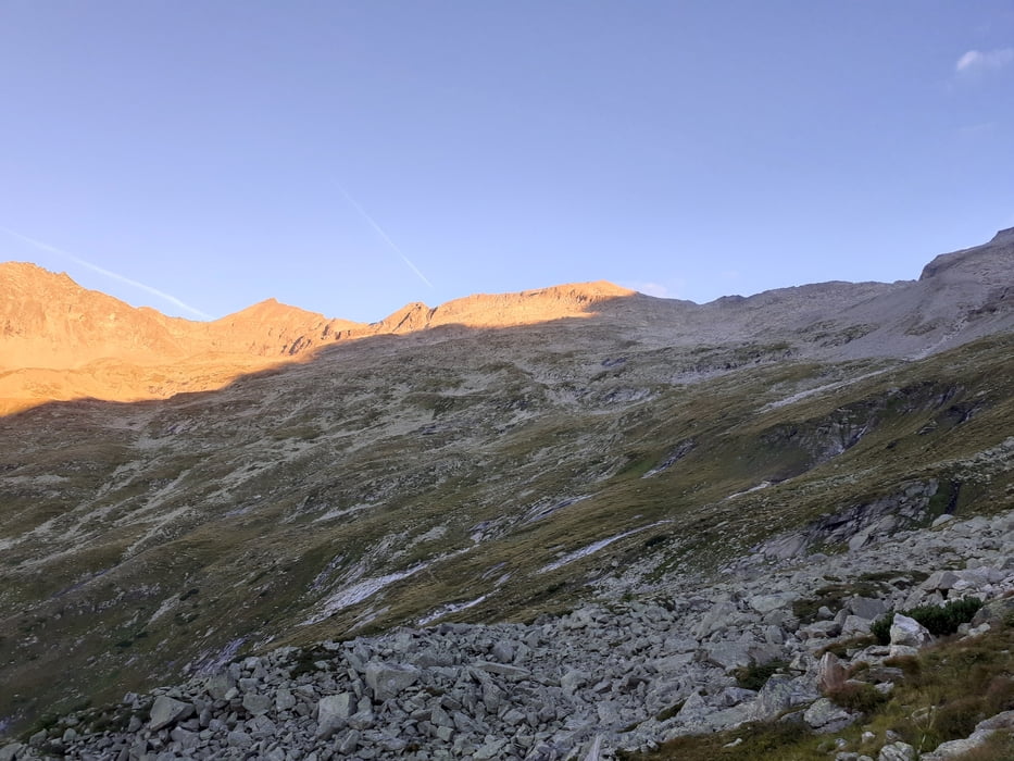
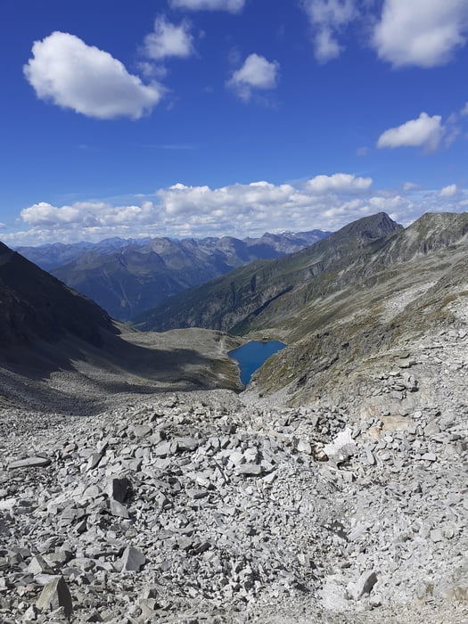
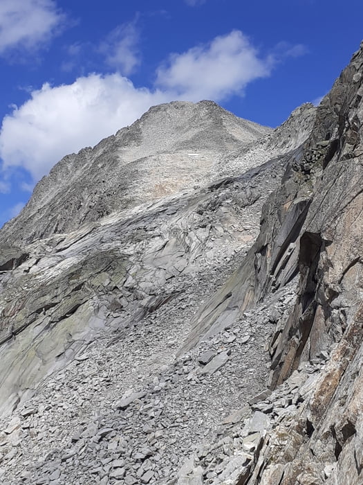
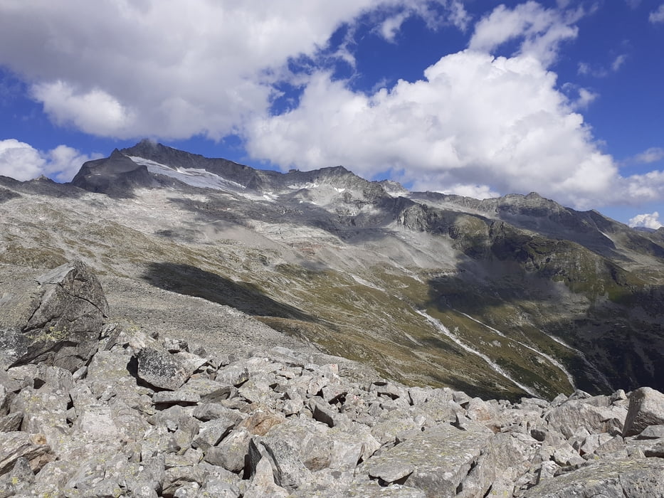
Galerie du tour
Carte du tour et altitude
Minimum height 1676 m
Maximum height 3062 m

Commentaires

Auf der Tauernautobahn zur Abfahrt Gmünd. Hineinauf der Maltastraße ins Maltatal. Bei den Lassacher Wasserfällen links ab in den Gößgraben und hinauf zum Parkplatz vor dem Speicher Gößkar.
Tracks GPS
Trackpoints-
GPX / Garmin Map Source (gpx) download
-
TCX / Garmin Training Center® (tcx) download
-
CRS / Garmin Training Center® (crs) download
-
Google Earth (kml) download
-
G7ToWin (g7t) download
-
TTQV (trk) download
-
Overlay (ovl) download
-
Fugawi (txt) download
-
Kompass (DAV) Track (tk) download
-
Feuille de tours (pdf) download
-
Original file of the author (gpx) download
Add to my favorites
Remove from my favorites
Edit tags
Open track
My score
Rate