
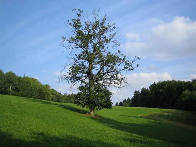

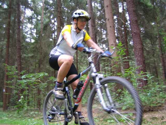
Abwechslungsreiche Tour durch die Frankenalb.
Wir fahren von Lauf an der Pegnitz über Leutzenberg nach Engelthal. Weiter geht es vorbei an der Steinernen Rinne hinauf zum Buchenberg. Hinab geht die Fahrt nach Entenberg und Diepersdorf zum Klingenden Wasserfall und zurück nach Lauf.
Wir fahren von Lauf an der Pegnitz über Leutzenberg nach Engelthal. Weiter geht es vorbei an der Steinernen Rinne hinauf zum Buchenberg. Hinab geht die Fahrt nach Entenberg und Diepersdorf zum Klingenden Wasserfall und zurück nach Lauf.
Galerie du tour
Carte du tour et altitude
Minimum height 325 m
Maximum height 564 m
More about the tour author

|
erwin.janko |
Commentaires
BAB A9 Anschlussstelle Lauf Nord oder Lauf Süd -
Bundesstraße 14 -
Bahnhof Lauf rechts der Pegnitz
Bundesstraße 14 -
Bahnhof Lauf rechts der Pegnitz
Tracks GPS
Trackpoints-
GPX / Garmin Map Source (gpx) download
-
TCX / Garmin Training Center® (tcx) download
-
CRS / Garmin Training Center® (crs) download
-
Google Earth (kml) download
-
G7ToWin (g7t) download
-
TTQV (trk) download
-
Overlay (ovl) download
-
Fugawi (txt) download
-
Kompass (DAV) Track (tk) download
-
Feuille de tours (pdf) download
-
Original file of the author (g7t) download
More about the tour author
|
|
erwin.janko |
Add to my favorites
Remove from my favorites
Edit tags
Open track
My score
Rate
Steinerne Rinne