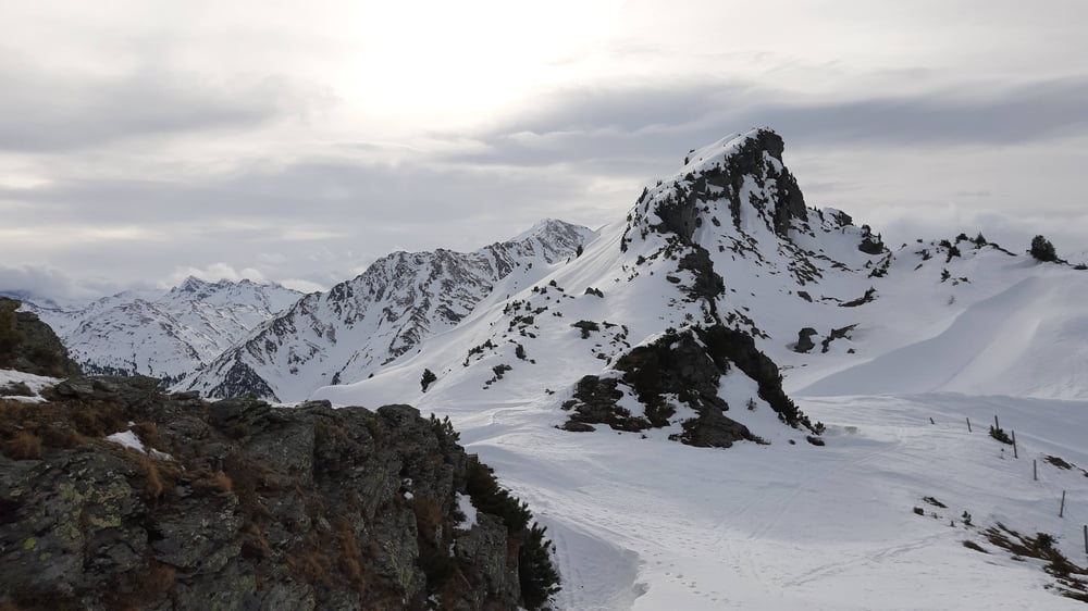
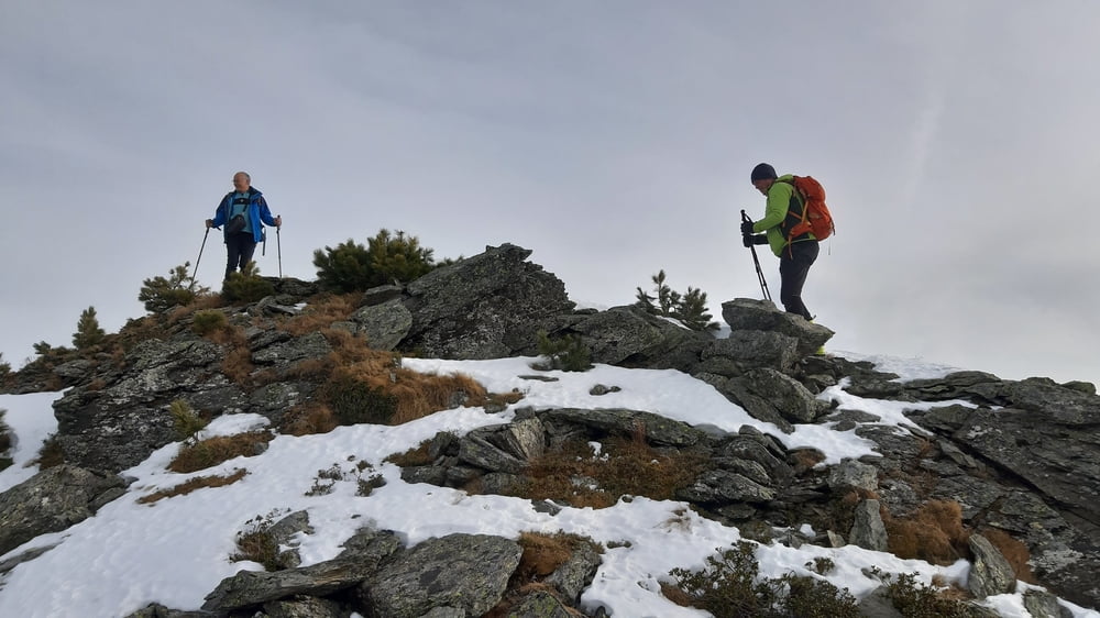
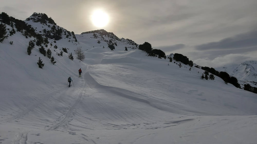
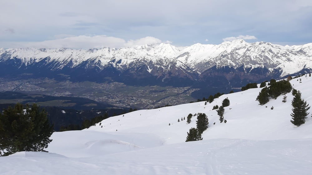
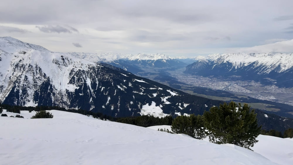
Bis knapp unterhalb der Largozalm auf einer Forststraße unterwegs, dann ab ins freie Gelände. Unser Ziel befindet sich zwischen dem Largoz und der Wattenspitze. Herrlicher Weitblick ins Inntal und die gewaltige Bergwelt, die es umschließt. Hinunter sind wir im Großen und Ganzen der Aufstiegsspur gefolgt,
Galerie du tour
Carte du tour et altitude
Minimum height 1383 m
Maximum height 2311 m
Commentaires

Von Volders der Bergstraße rauf bis zur Krepperhütte. Gleich danach links rauf gibt es einen gebührenfreien Parkplatz.
Tracks GPS
Trackpoints-
GPX / Garmin Map Source (gpx) download
-
TCX / Garmin Training Center® (tcx) download
-
CRS / Garmin Training Center® (crs) download
-
Google Earth (kml) download
-
G7ToWin (g7t) download
-
TTQV (trk) download
-
Overlay (ovl) download
-
Fugawi (txt) download
-
Kompass (DAV) Track (tk) download
-
Feuille de tours (pdf) download
-
Original file of the author (gpx) download
Add to my favorites
Remove from my favorites
Edit tags
Open track
My score
Rate

